oliviatamccue

about everything, anything or something

Alaska Cruise: A Reunion to Remember

New places usually rank higher on my travel list. But there are exceptions. Alaska is one of the very, very few places I would happily return to again and again.

My first Alaska trip was right after COVID. It was a 2-week trip. I wrote about the Alaskan  experiences of a lifetime. This August I travelled back to Alaska. This time on a cruise.  

This Alaska cruise was my second ever cruise. My first cruise experience was almost two decades ago. That was a 4-day Mexico cruise on Carnival Paradise departing from Los Angeles. I will always remember this only cruise I took with my late mother.  

This Alaska cruise is the second leg of a college reunion to celebrate an anniversary. The first leg was a one-week road trip to Calgary and Banff. We are near retirement or already retired. From Sydney, Melbourne, Hong Kong, Vancouver, Seattle and the Bay Area, we met in Vancouver. We celebrated the anniversary with a sitdown dinner before the cruise and did a Zoom with other classmates who could not join in person. My spouse and I joined the reunion in this second leg, a round trip 7-day Dawes Glacier in Alaska from Vancouver, on Celebrity Solstice. 

The cruise check-in process is similar to regular airport check-in. The different cruise companies are like the different airlines. There are a few differences. First, the cruise process is apparently more optimized. The cruise lines had arranged an explicit boarding time window spread throughout the day. There were way more support staff for cruise check-in from the moment you get to the cruise terminal. We dropped off the luggage within a minute or so. The lines moved fast. Second, at airport check-in and customs, the passengers often look busy and stressed; at the cruise check-in, the passengers look forward to getting on the cruise, relaxed and excited. Third, the cruise passengers are diverse in age and groups. There are family groups. There are youngsters. There are the seniors. There are reunion groups like us. The passengers on our cruise are respectful, open to small talk, and comfortable to be left on their own. Seemingly there are singles too for whom the cruise has arranged single-only activities.
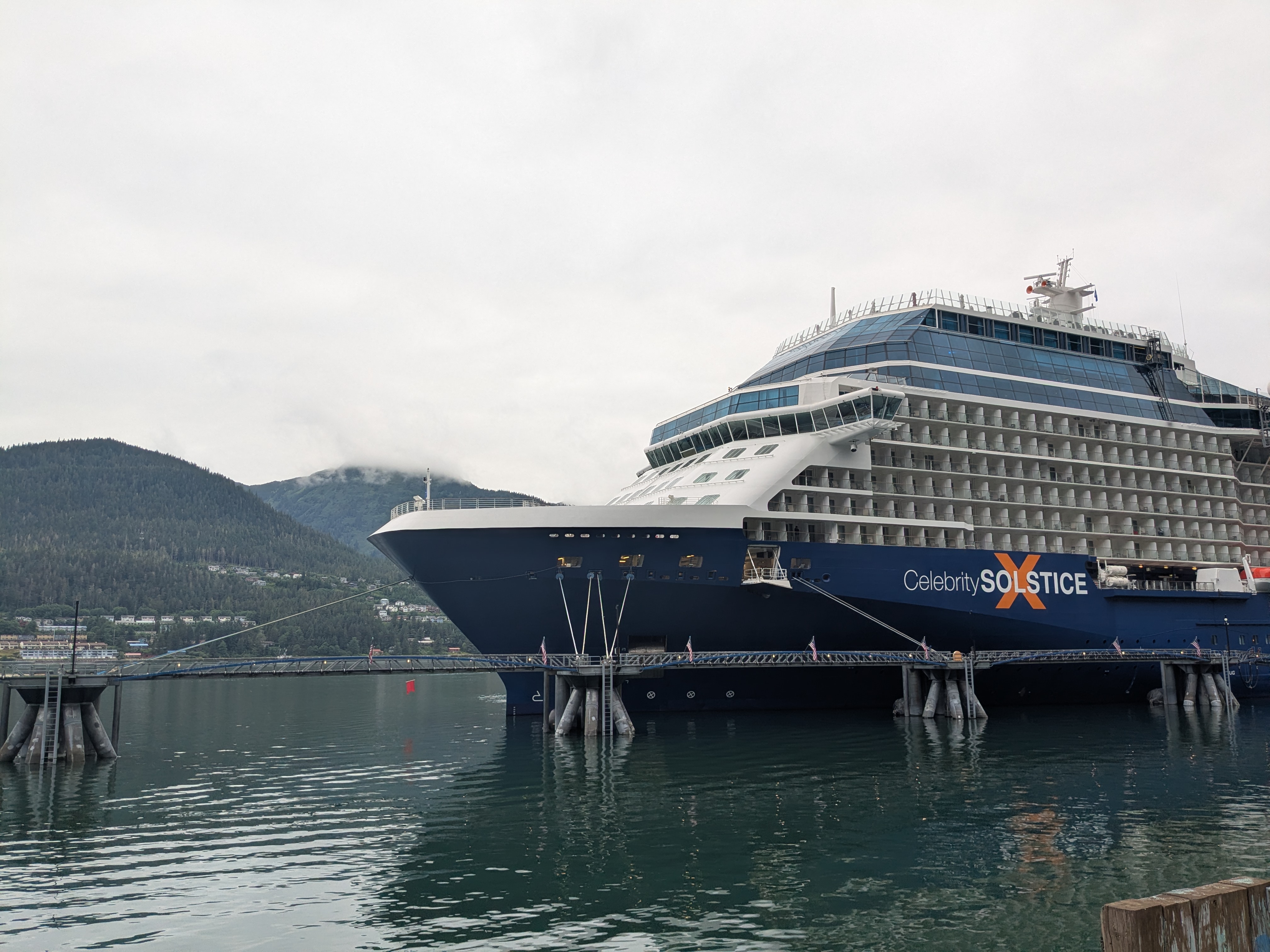
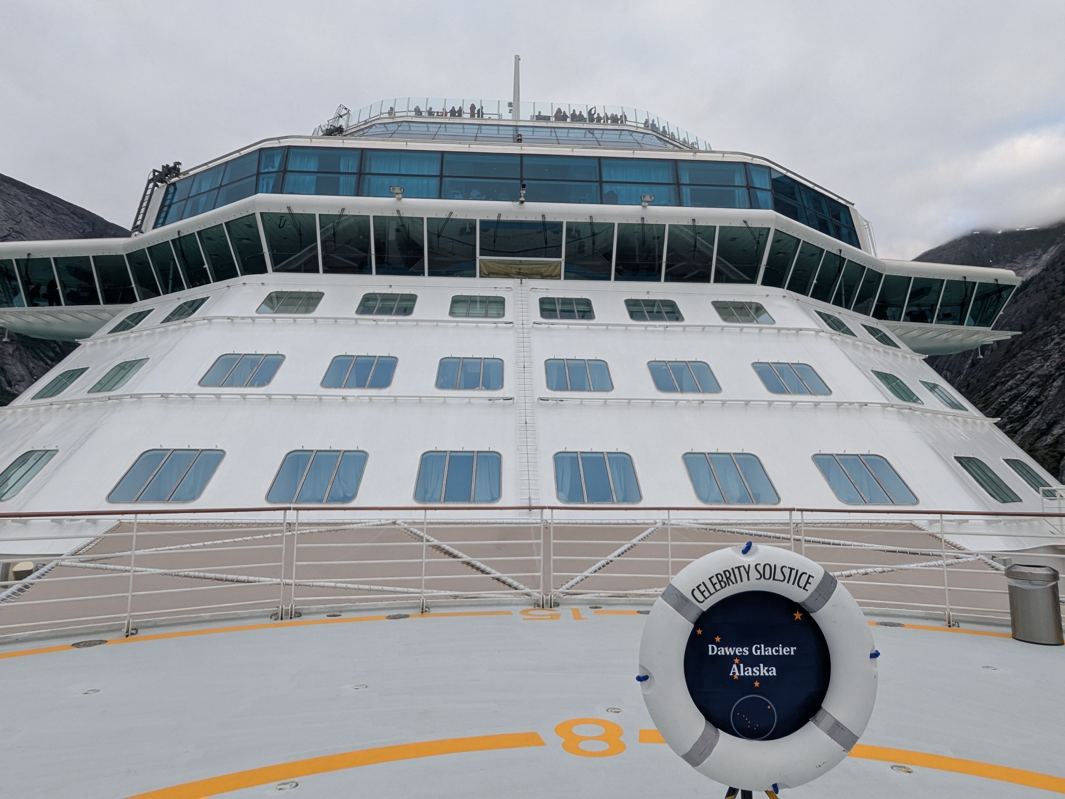
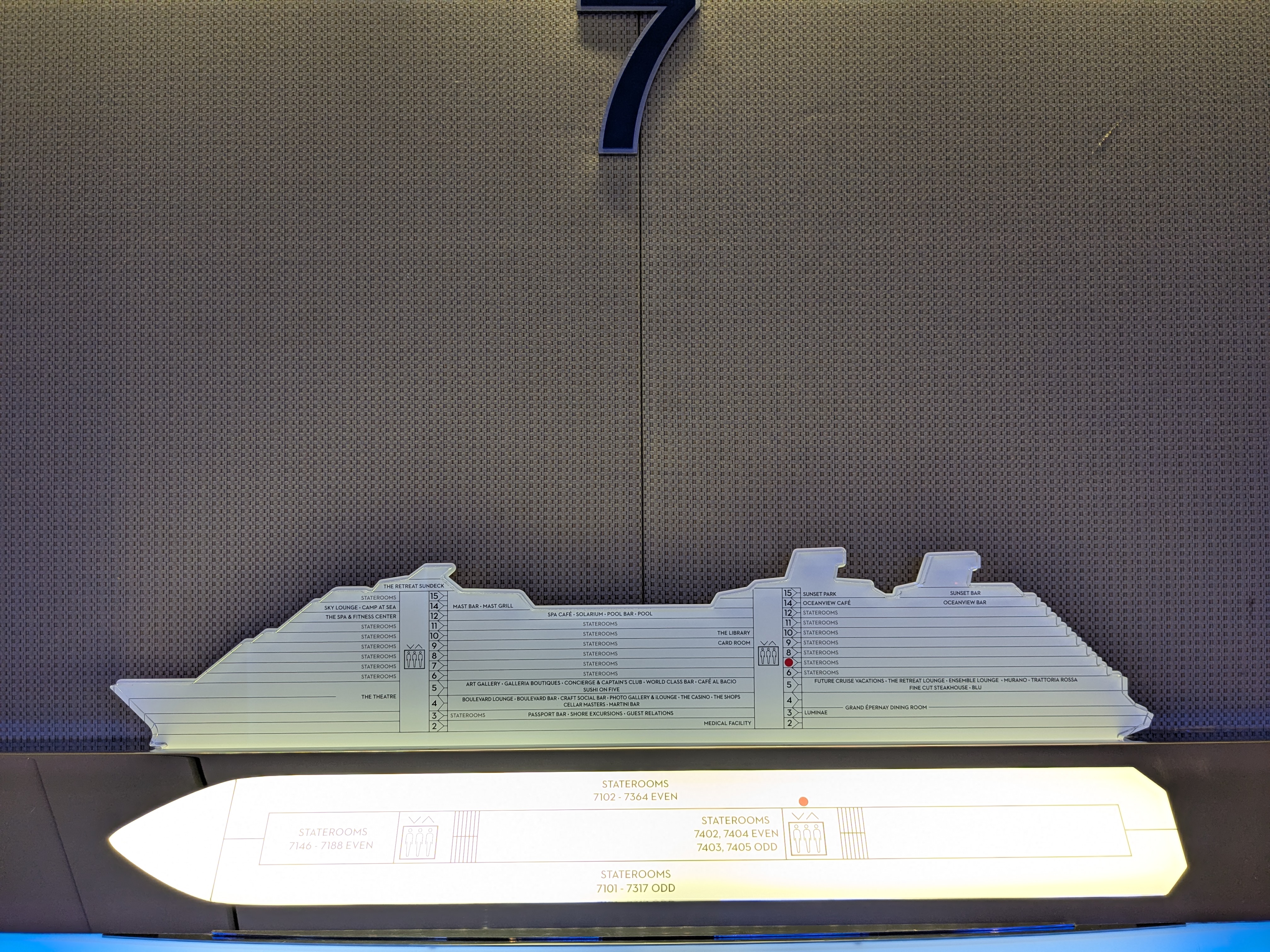
Once onboard the ship, some went for the all-you-can-eat cafe right away. We explored the 15-story ship facilities, from the library, the pools, the gym, the spas and more. When we took the first cruise to Mexico, our room was tiny and without a window. This time, we booked a stateroom with a balcony. We could just chill on the balcony, read a book, or just do nothing and be mesmerized by the changing landscape. What an upgrade! There was no going back to the windowless inside room.

The Oceanview cafe is arguably the place we visited the most. We went there for morning coffees, for water, for all-you-can-eat meals or simply to find our group. The view, the setting, the food are all excellent. In the evening, it was sit down dinner where we selected our dishes. After a couple of days, we discovered that the sit down dinner was a waiter-served version of an “all-you-can-eat” meal too. (This album captures the delicious dishes we enjoyed at our reunion dinners. Fair warning—it may make your mouth water!)

We were excited about the beautiful landscape, glaciers, flora and fauna. But breakfast and dinner were often when the group came together, sharing stories and some good laughs. In many ways, these were the moments that made the reunion feel most like a reunion. I cannot remember every conversation, but I will remember the characters, the sharing, and simply being together. These are the moments I will savor the longest.

On the two sea days, we were well entertained with morning stretch sessions, the eloquent naturalist talks by Barb Lane, the mini-concerts and the salsa/chacha dancing lessons aside from the meals, pool time, gym time and sauna time.

On port days, we took excursions at each port, sometimes together and sometimes separately. It was as if the spirit of the reunion followed us—we kept running into each other even on days when we had chosen different excursions. It was hilarious to discover that two of us had somehow ended up in a random photo taken by another member of the group.

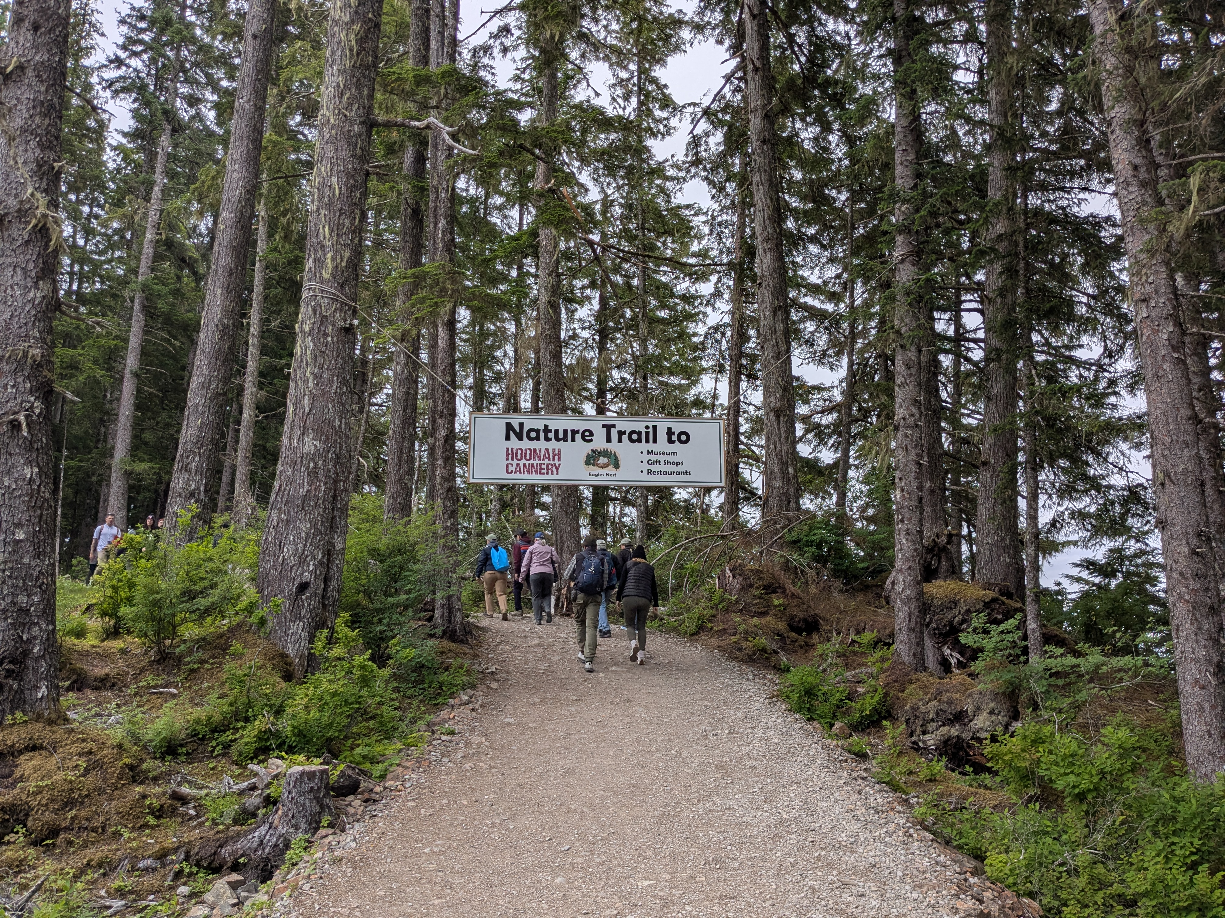
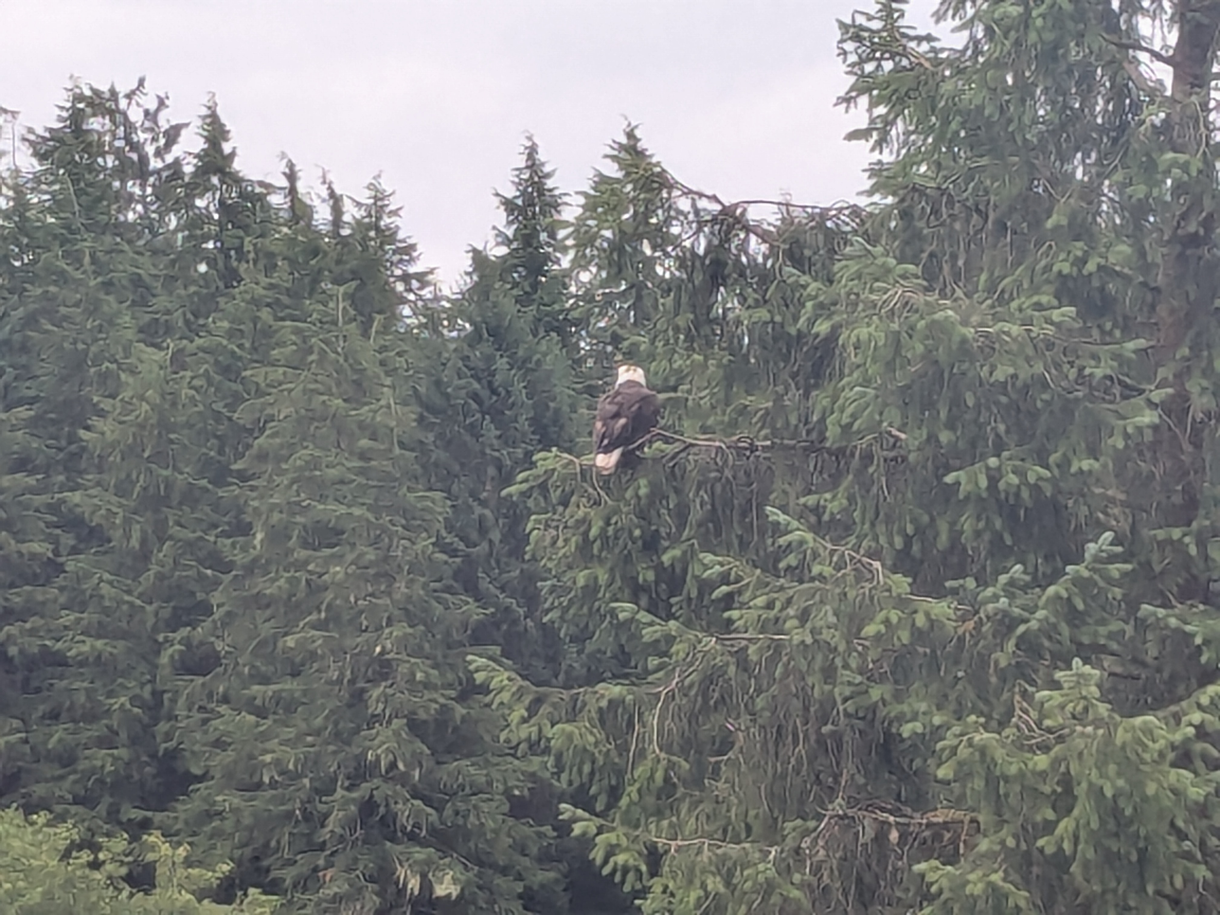
Ice Strait Point was our first port in Alaska. Off the ship, the first thing to do was to breathe in the ultra clean and fresh Alaskan air. The second activity was to walk in this last frontier. Ice Strait Point/Hoonah has very limited shopping opportunities. We joined a Whale Watching excursion which offered guaranteed whale watching. The sightings of bald eagle, orcas, a couple of Humpback Whales, and a raft of sea lions were highlights of the day. One orca swam across the bow of our boat. Its streamlined fin and body is otherworldly smooth and beautiful. 

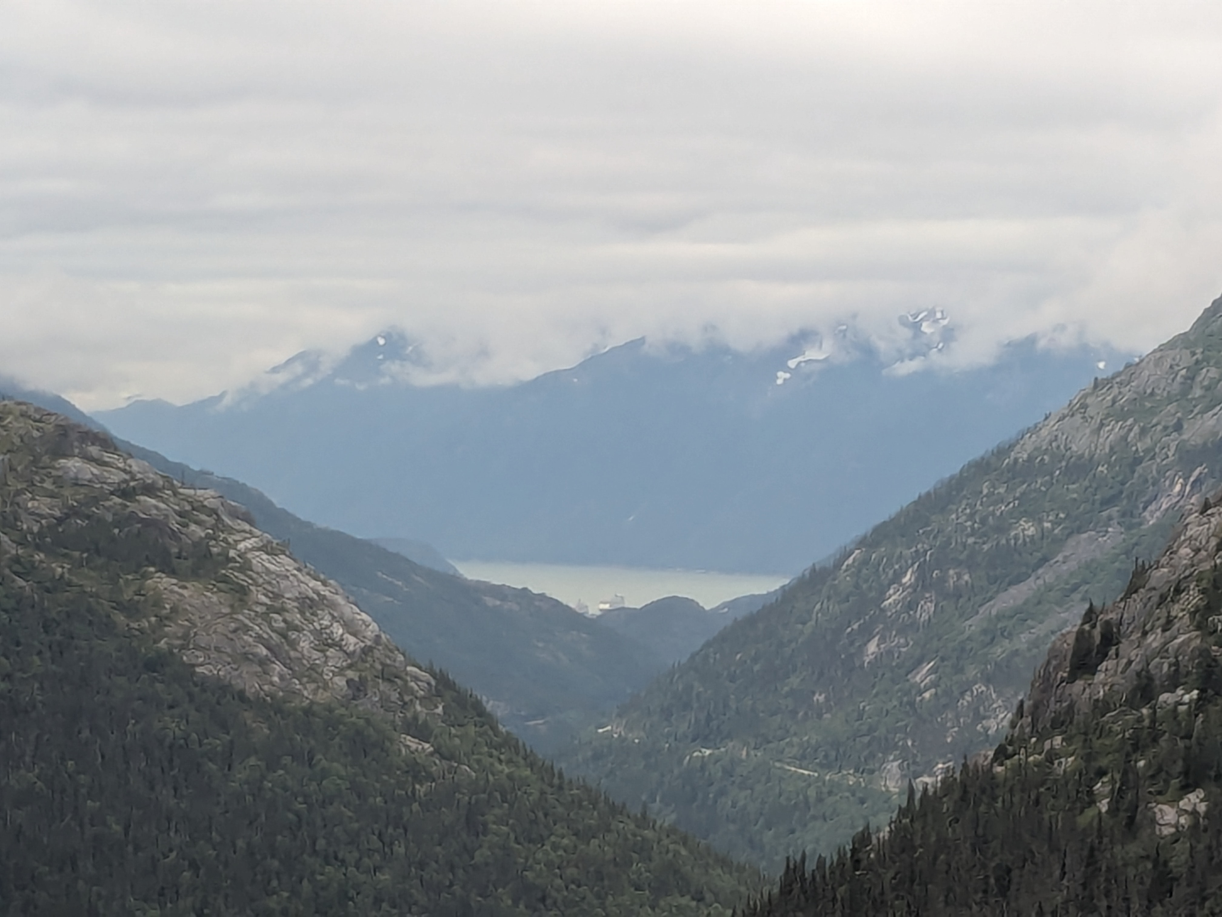
Skagway was our next port. Skagway was on the route of the Klondike Gold Rush, the historic 1896 gold rush region in Yukon, Canada. We joined the White Pass & Yukon Route scenic train excursion, to climb up to the White Pass Summit. While waiting, we met a couple who had taken the same tour seven years ago. The train ride was very scenic with lots of mountain and forestry landscape. Maybe we would be like that couple to take the train again years down the road. After the train, we strolled around downtown, visiting the Klondike Gold Rush National Park Service visitor center to learn more about the Gold Rush era. There was a Dewey Lakes trail system nearby, with some trails. We hiked the Lower Dewey Lake trail, a surprisingly strenuous uneven rocky trail at the beginning and then a more flattened trail along the lake. It was a short hike but not an easy one. The challenge facing the stampeders a century ago, before the train route, resonated loudly. These stampeders had to hike up the White Pass with more than a full load, in harsh weather, for days and months.

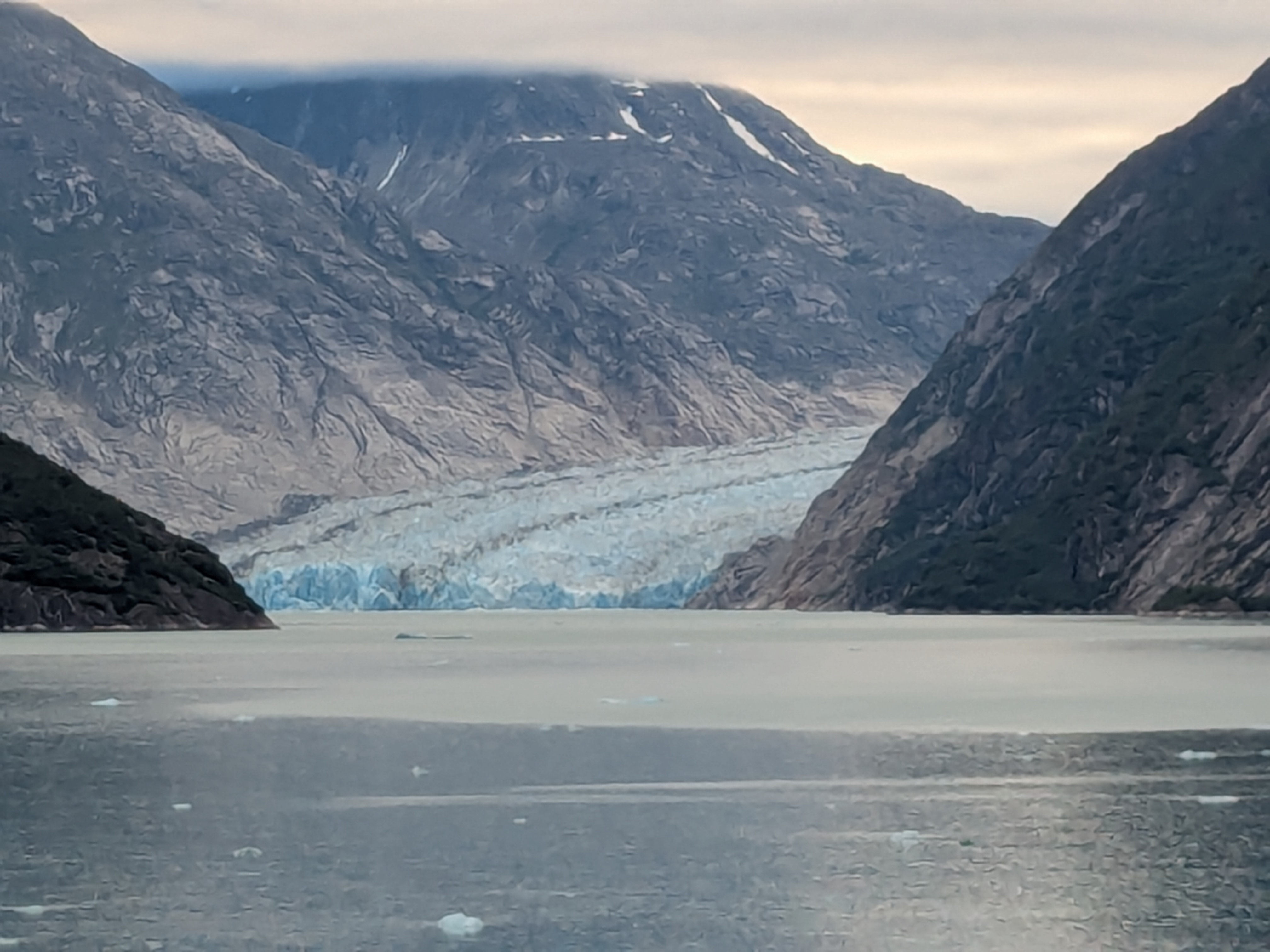
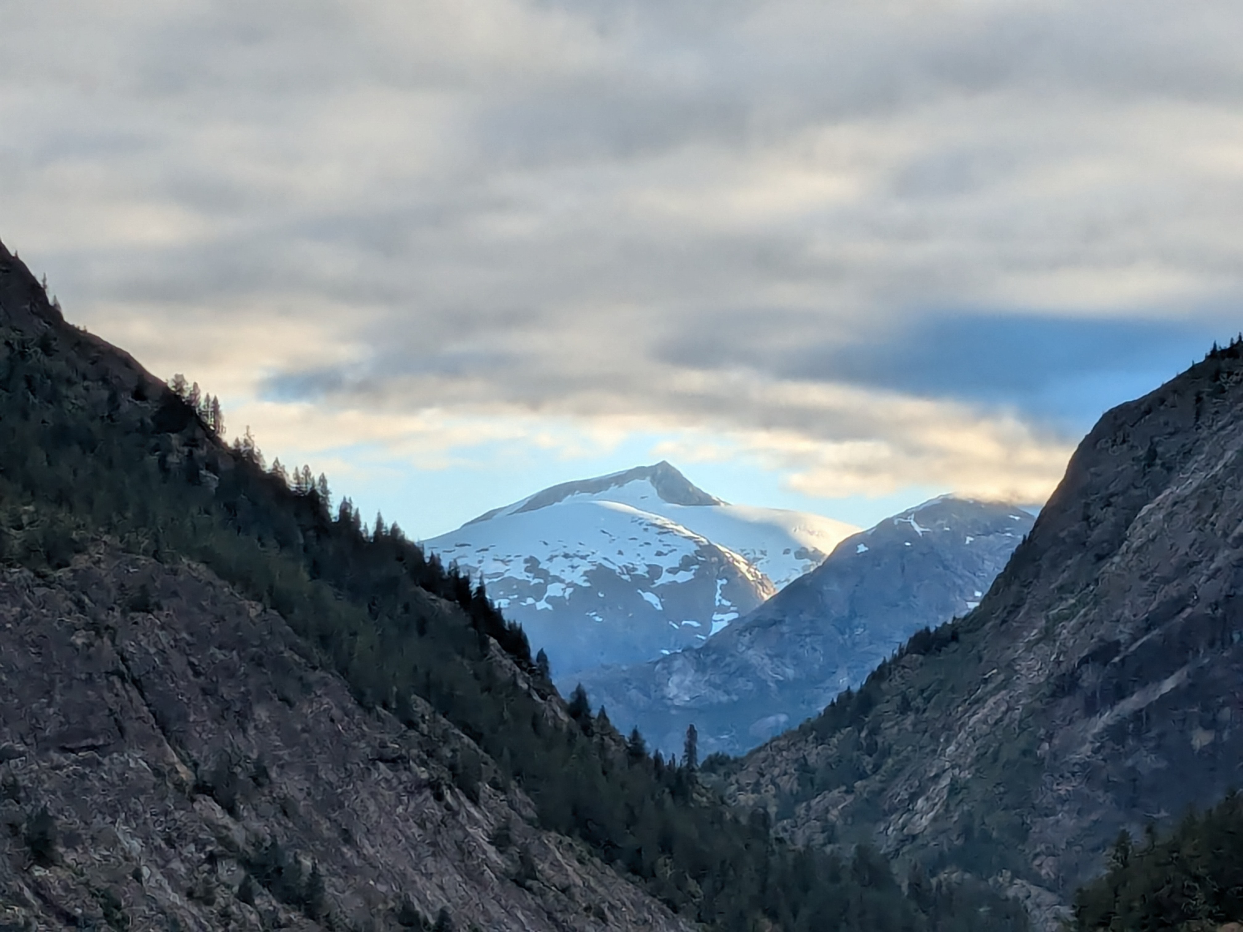
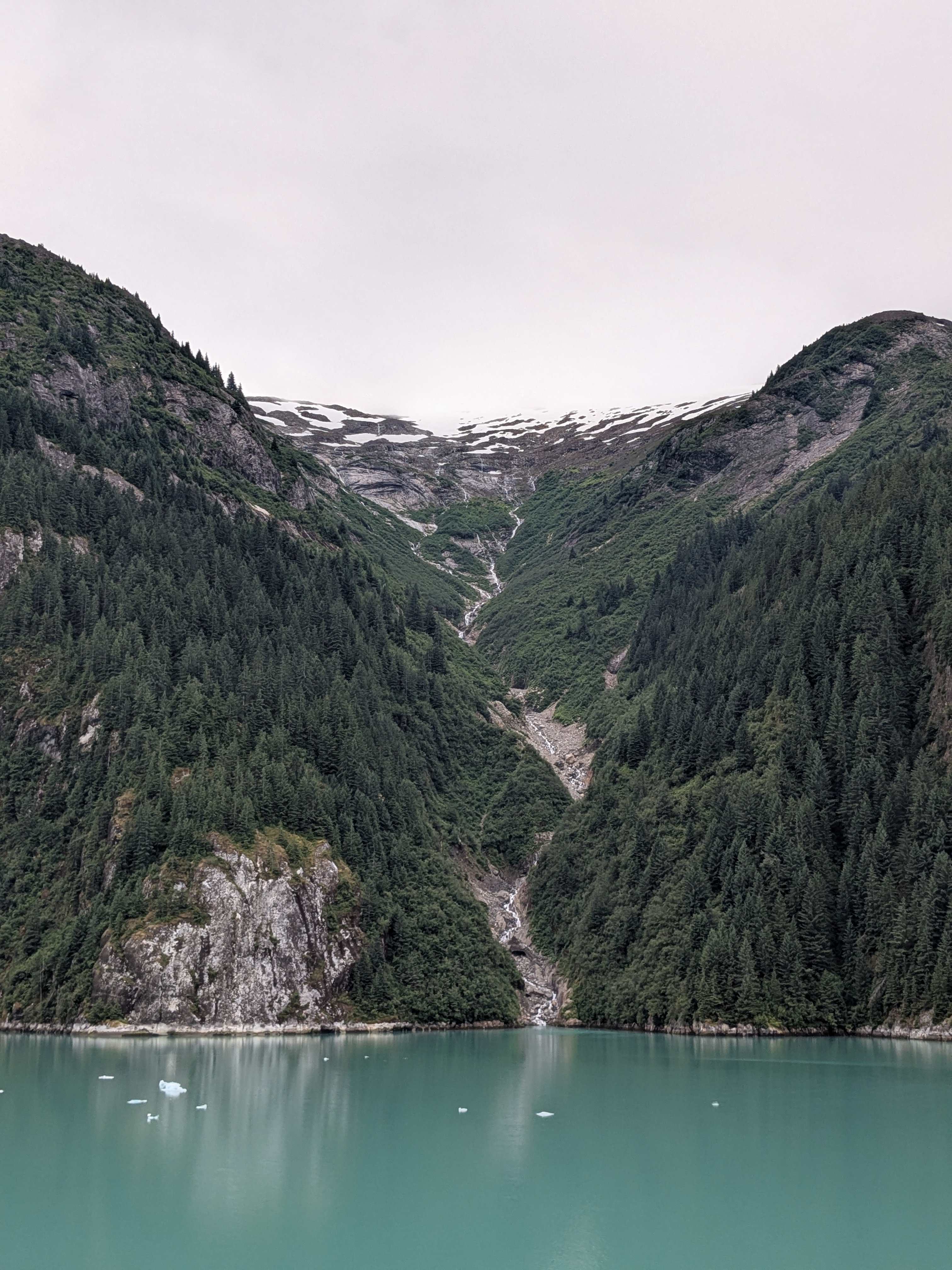
The most scenic journey happened on the way to Juneau, when the ship sailed through Endicott Arm towards the Dawes Glacier. The Endicott Arm is a stunning fjord, located just about 50 miles southeast of Juneau. Dawes Glacier is a 20-mile long active tidewater glacier. It is among the few glaciers that can be reached by cruise ships. We stood at the bow of the ship (i.e. the front row of the helipad area with no other passengers in front) for a very very long time. It was cold.There was so much to take in, the landscape, the water and the glacier, that we endured the coldness. The water kept changing color as we sailed towards the glacier, shifting from the ocean color to blue to turquoise to jade. At this crack of dawn, it was quiet, it was beautiful, it was otherworldly, just like Alaska. 
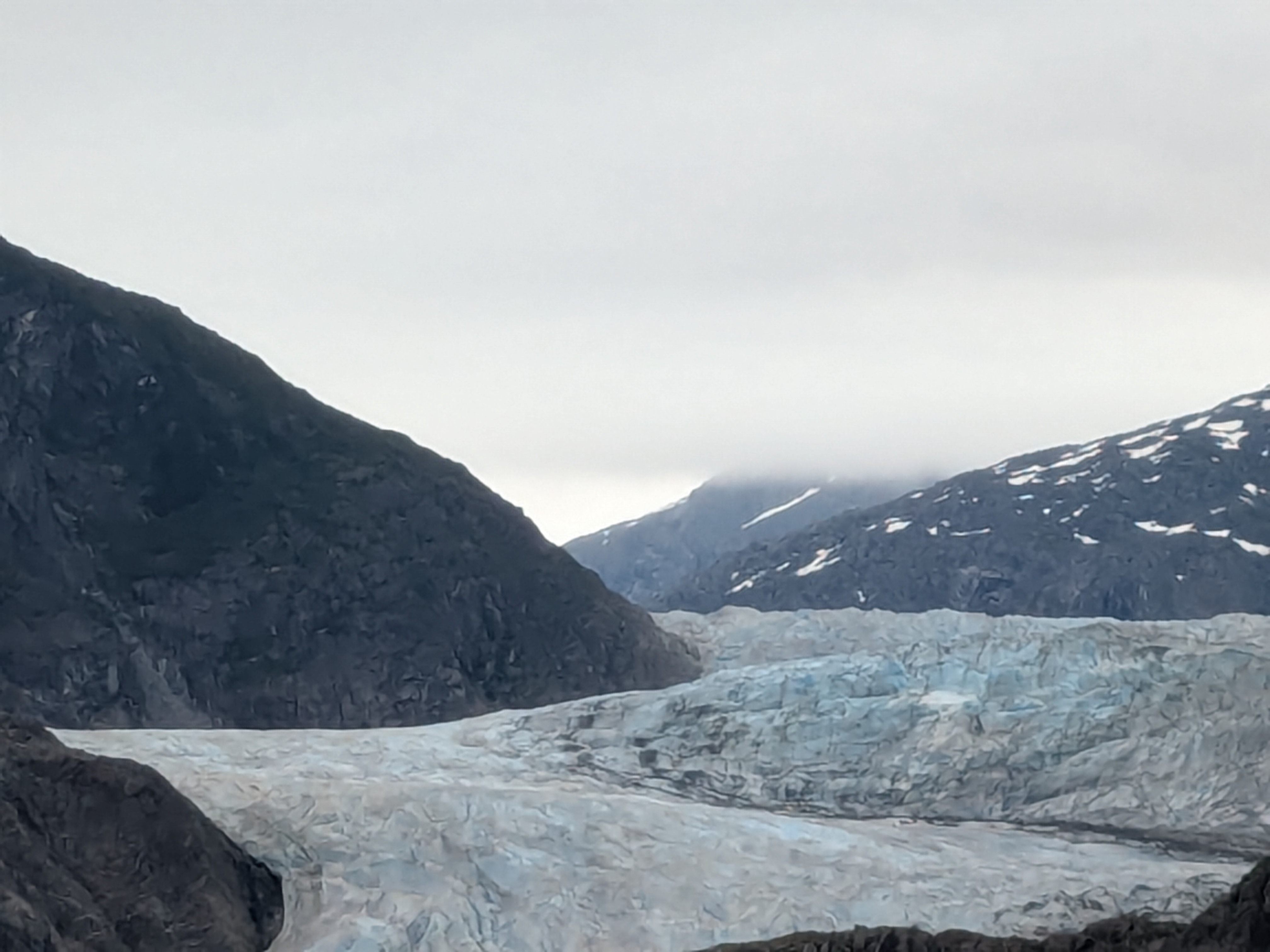
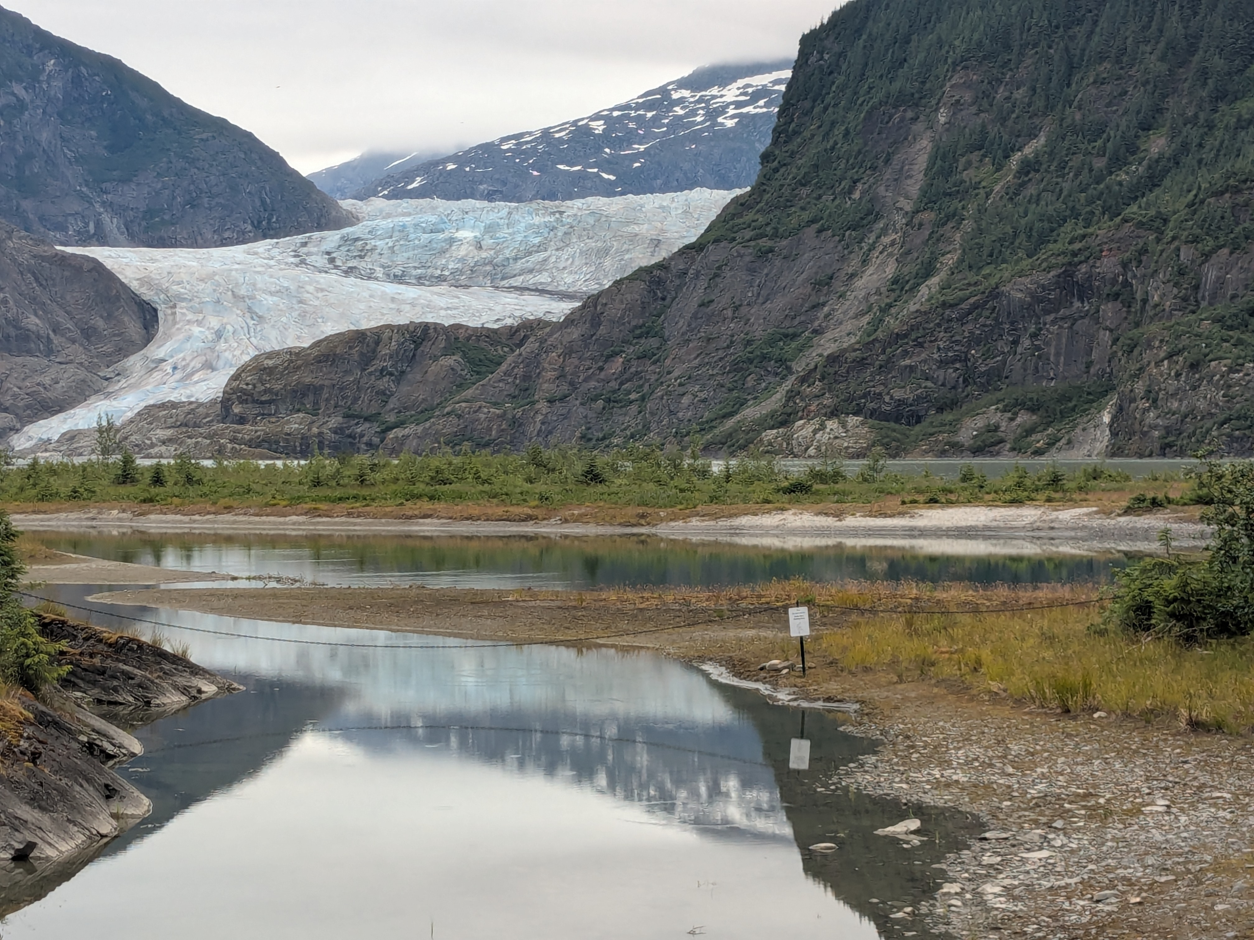
Juneau, our third port, is the capital city of Alaska. Located just 30-minutes of drive from the port, Mendenhall Glacier, inside the Tongass National Forest, is easily accessible from land. Our Mendenhall Glacier excursion covered mostly the round-trip transportation with two hours on our own to spot salmon, take pictures of the glacier/waterfall and take some walks to vista point/Nugget Fall. Both Dawes Glacier and Mendellhall Glacier are within viewing distance but still very far away. If you are looking for a more up-close glacier experience, I have had a few memorable ones on other trips: trekking on Matanuska Glacier, cruising past 26 glaciers in Alaska, and visiting Moreno Glacier in Patagonia. Each offered a very different way of experiencing these magnificent landscapes.
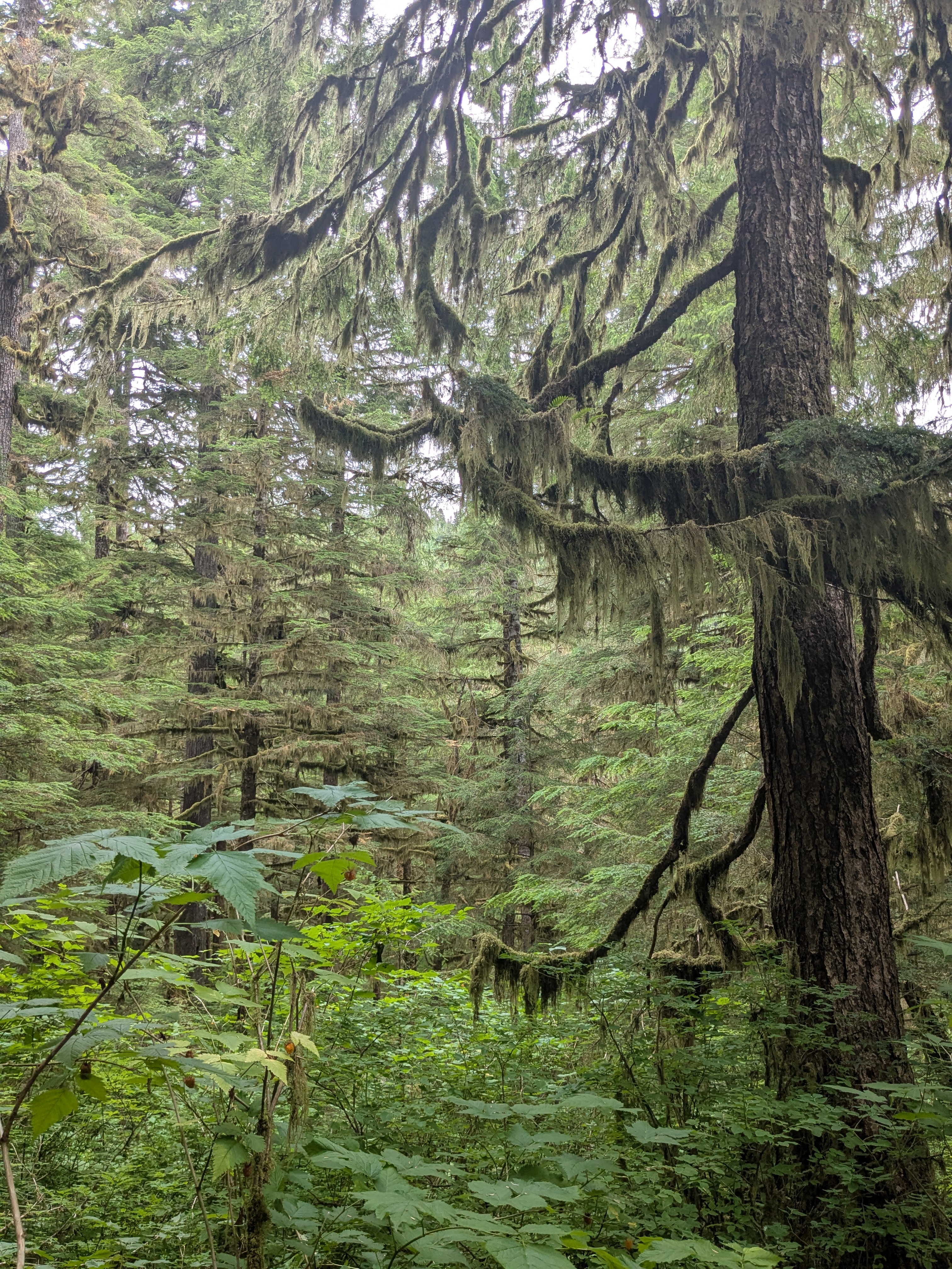
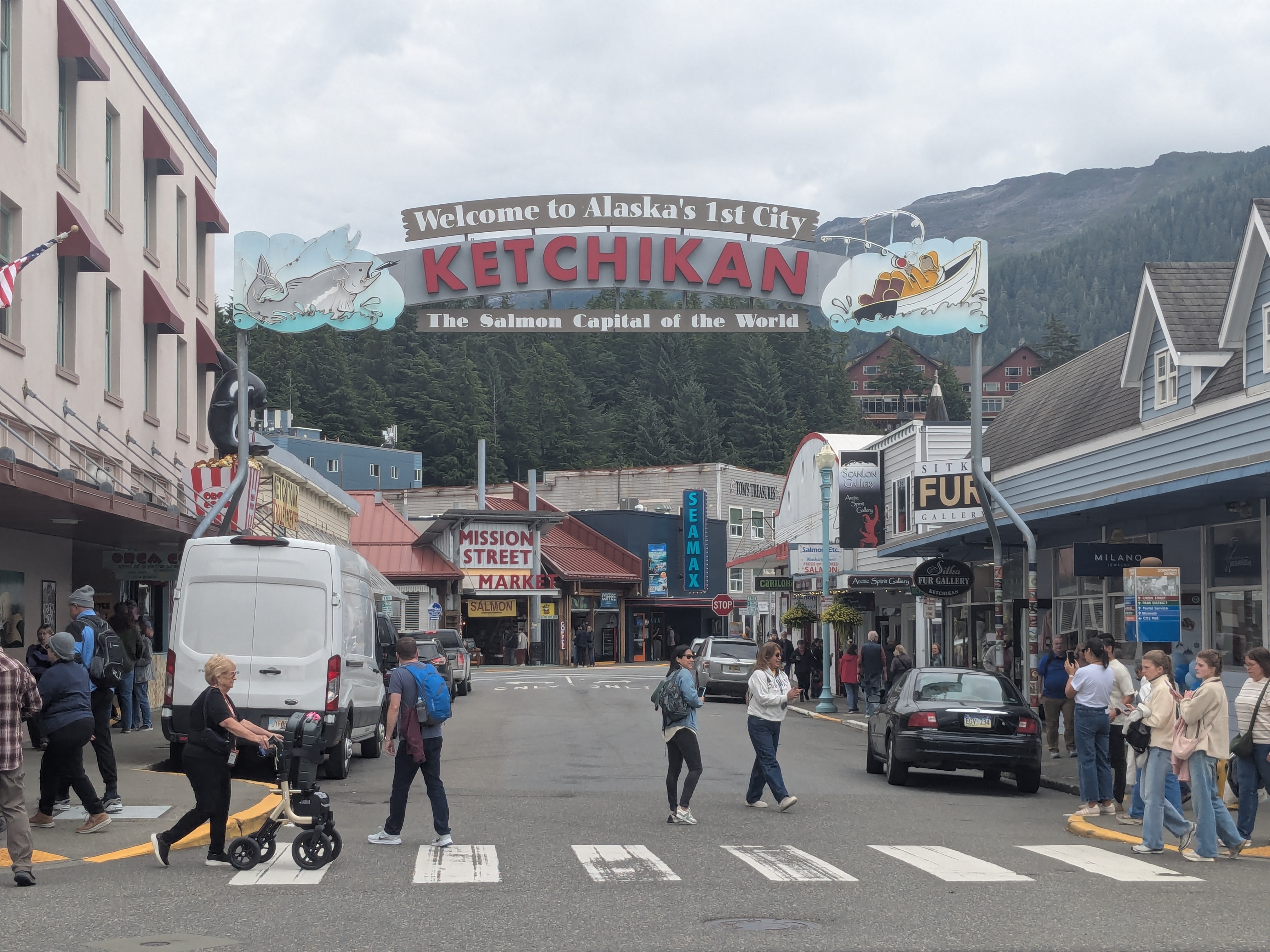
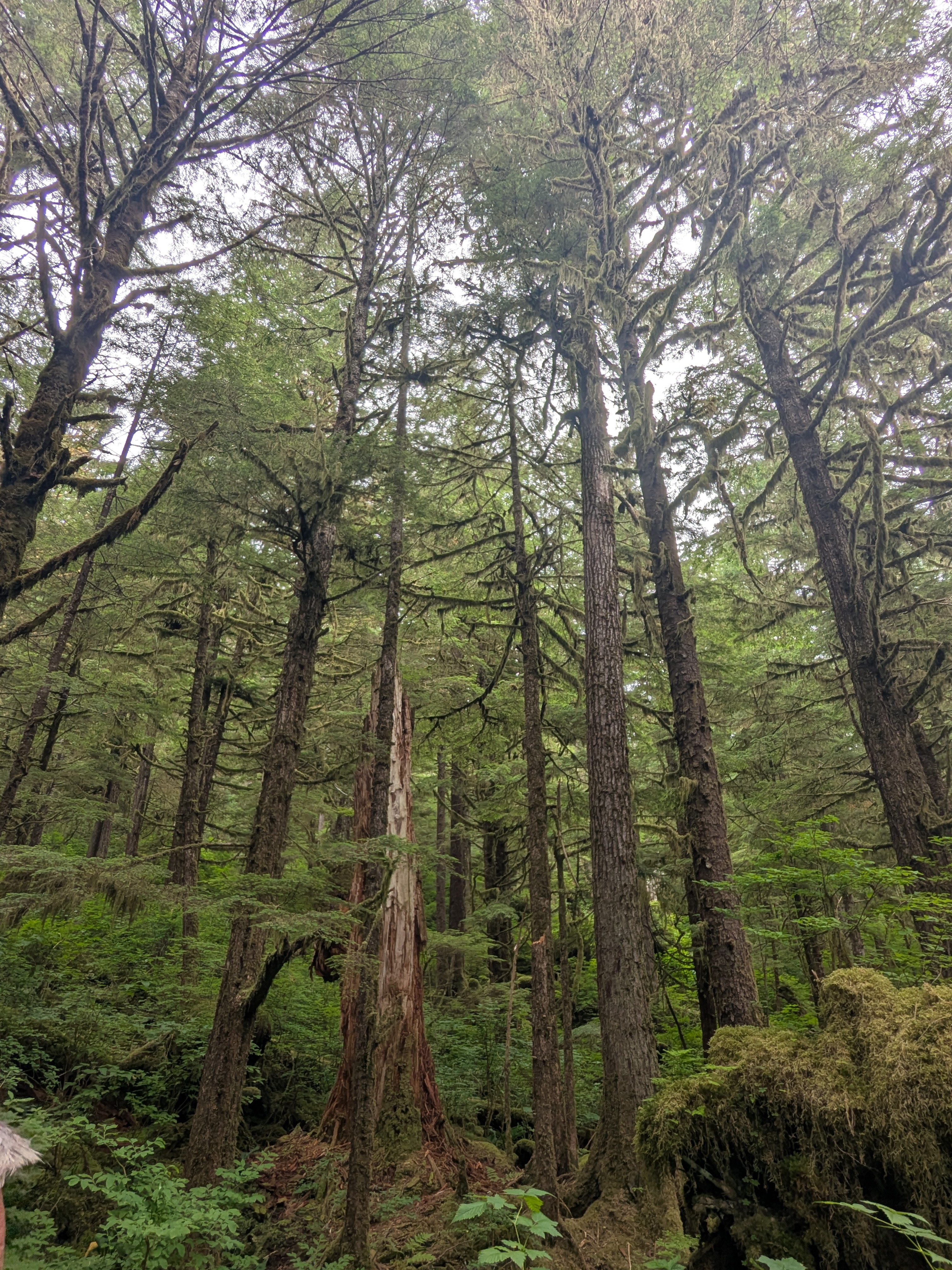
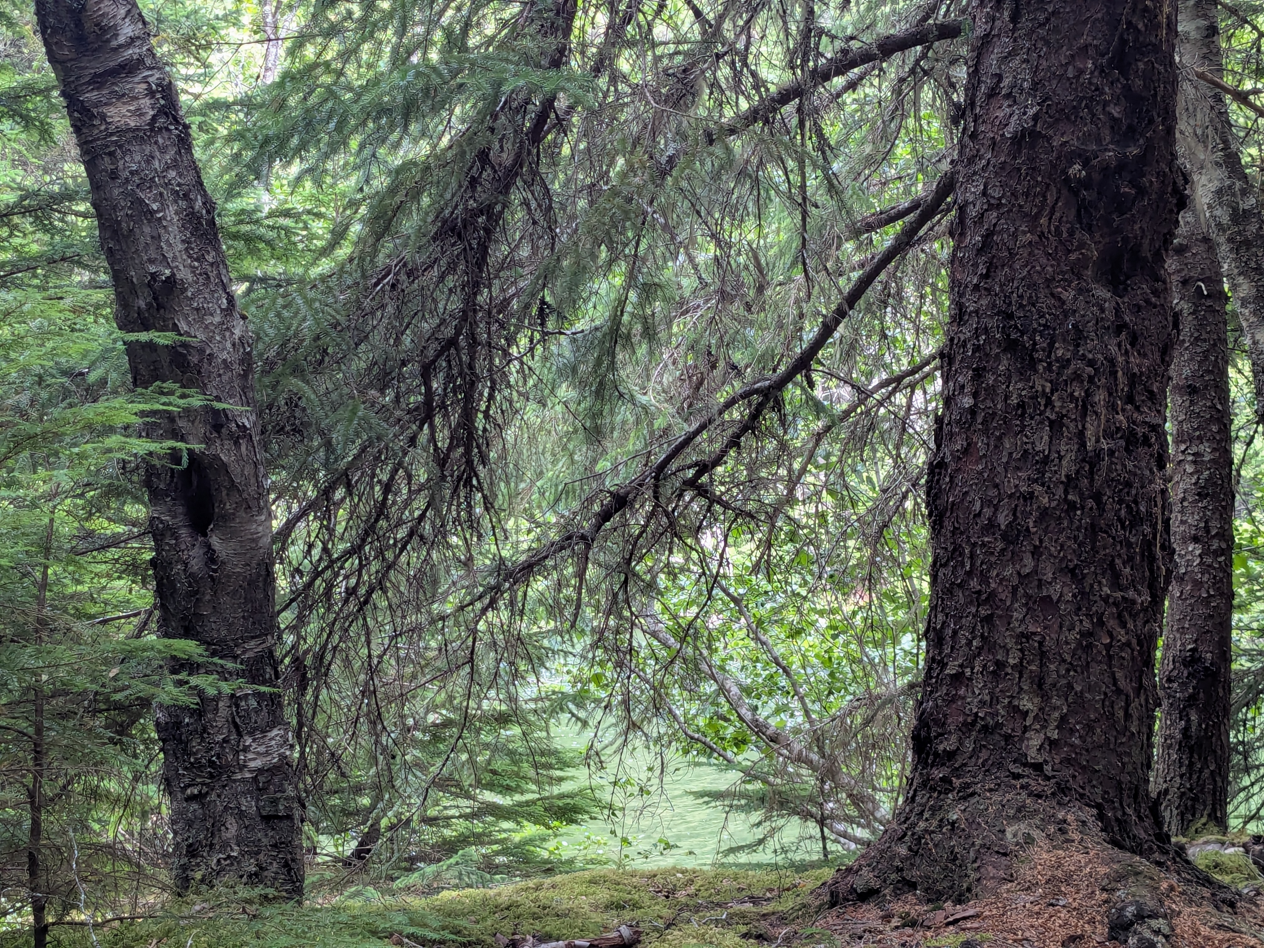
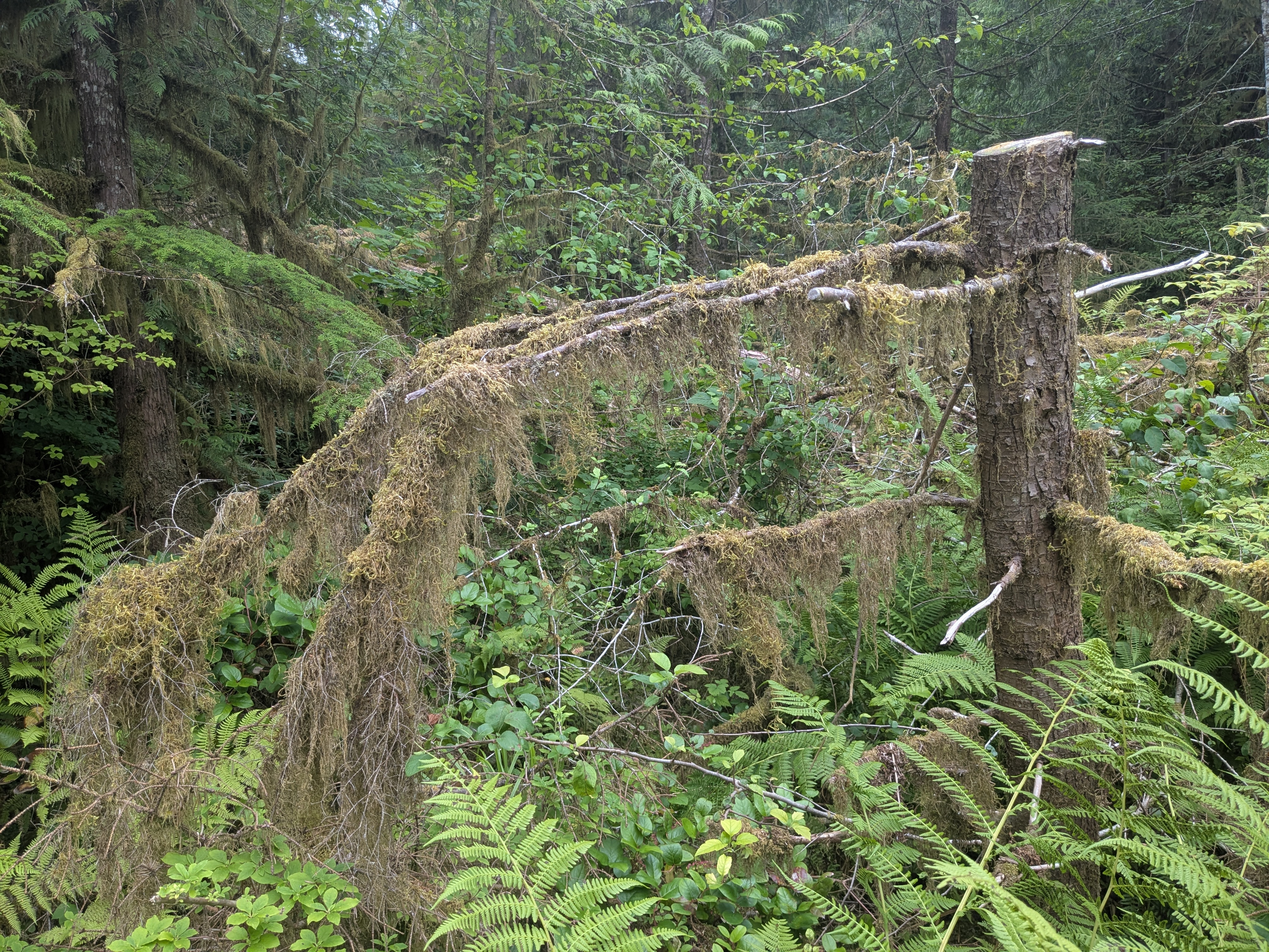
Ketchikan made our last port. Right off the port, there are gift shops where the souvenirs have attractive pricing. We did some quick shopping before getting on to our Alaska Rainforest Sanctuary and Totem Park excursion. Rainforest is not what we usually expect of Alaska. With the annual heavier rainfall, the south east of Alaska has rainforest.The Rainforest Sanctuary, we visited, is at the border of the Tongass Forest, located only a short bus ride from the port. It is very lush with an abundance of moss and lichen, some occasional salmonberries. There are the graceful Western hemlock and the Sitka spruce. I will remember how the trees around a dead tree seem to root themselves in a way that prevents the dead tree from falling and potentially spreading disease. I also appreciate the little ecological nursery blocks that help nurture young trees. And then there is the naturally orderly landscape, all without any human intervention. Once again, I am reminded that nature takes care of itself, with or without us. The tour guide also took us to visit a totem pole builder. The builder is designing and carving a pole to memorialize his uncle. We were often led to believe that totem poles were religious, and interpret them as mysterious. But totem poles are not religious; they are more a form of emotional expression—a way to honor family, tell stories, and preserve memories. That fittingly concludes our last Alaskan excursion.
When asked about ideal travel, I had once said a change of scenery while sitting comfortably, sipping a cup of hot beverages. I will remember my two cruises for a very long time. Maybe my third cruise will be less than two decades away.

This reunion celebrated a 40th anniversary of friendship. I hope the next one will be much much less than four decades away.
Leave a comment »

El Chaltén is Patagonia – Laguna de Los Tres Iconic Hike

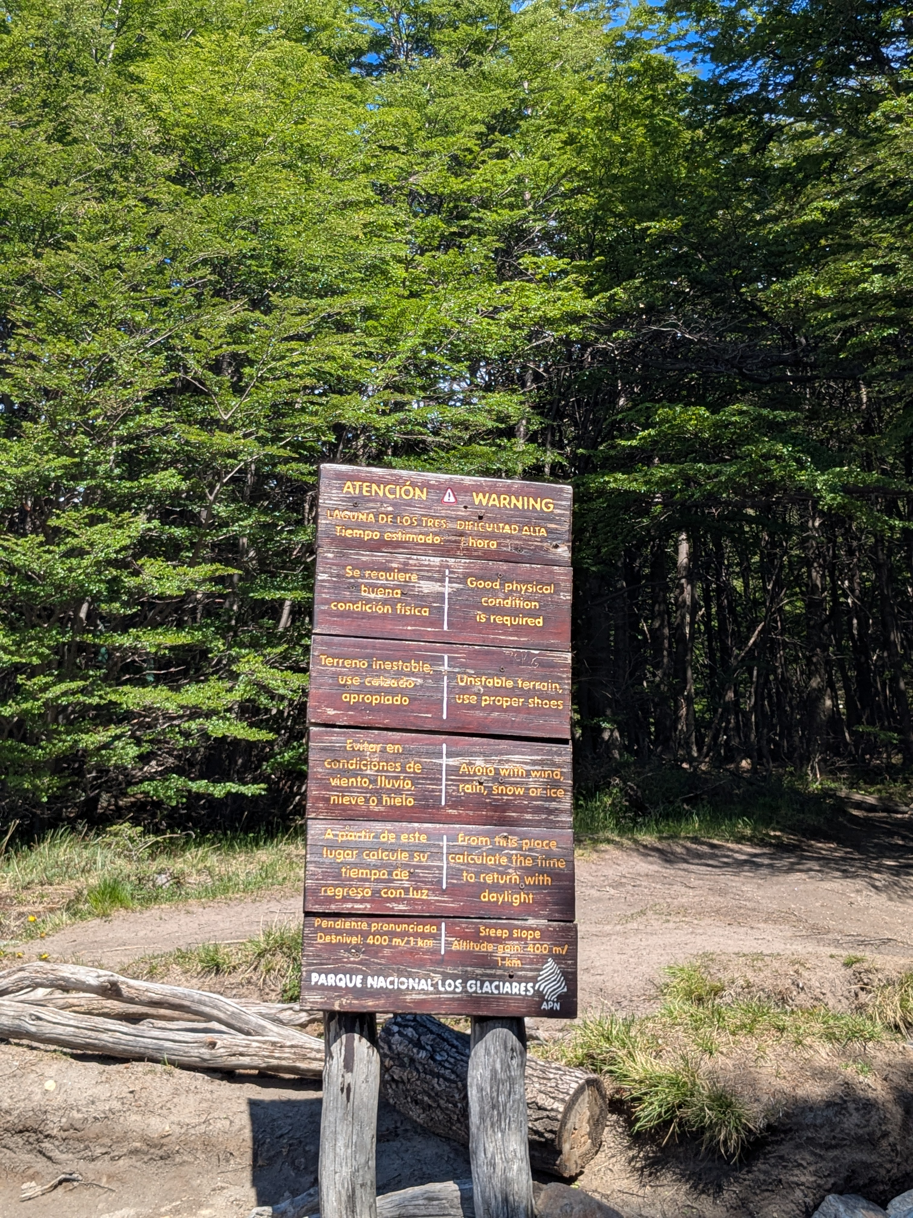
The ultimate hike Laguna de Los Tres is a 20km (10km one way) full day hike, and many consider the last 1km as very very very tough. I have a bit of acrophobia, and receive reassurance that the hike is not next to a cliff or any of the dangerous treks, but have little idea how tough the trail is. We are slow hikers so we started early at 7am in the morning, with some bottles of water, raingears, and a pole. 

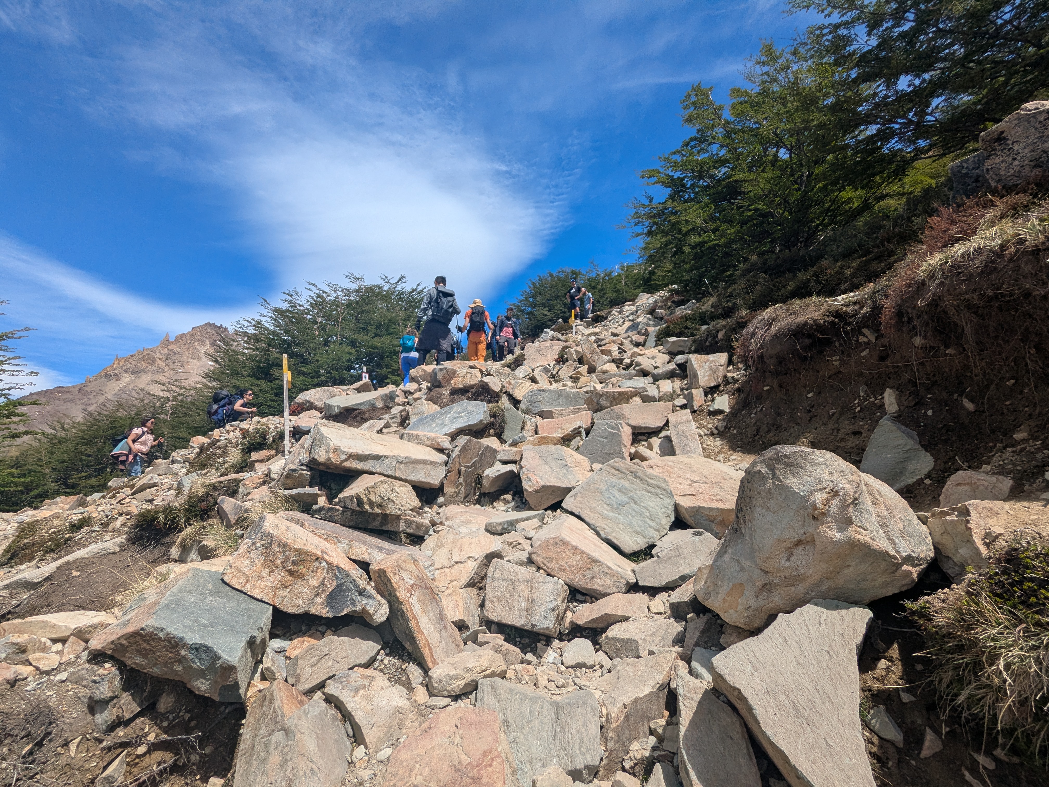
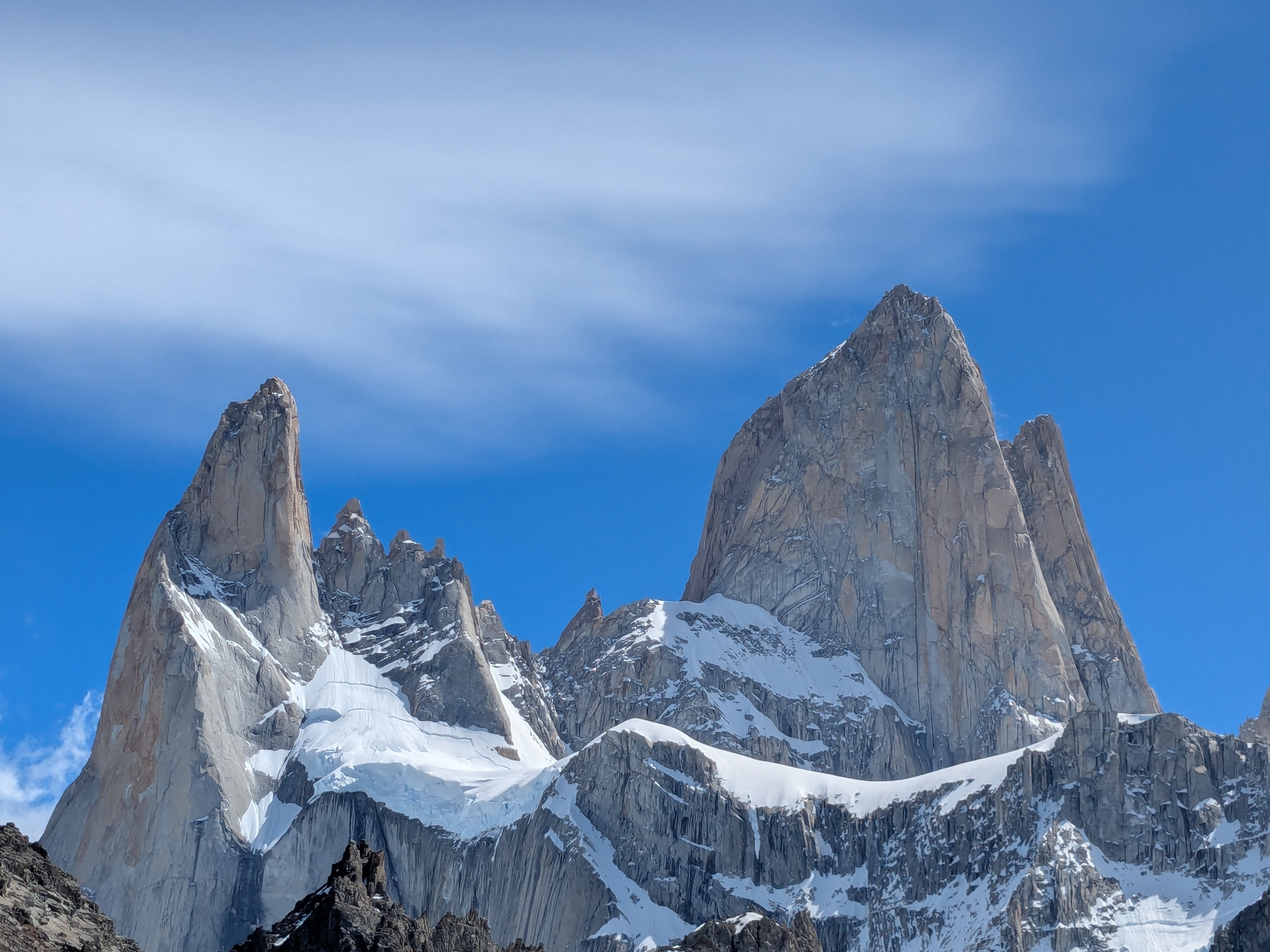
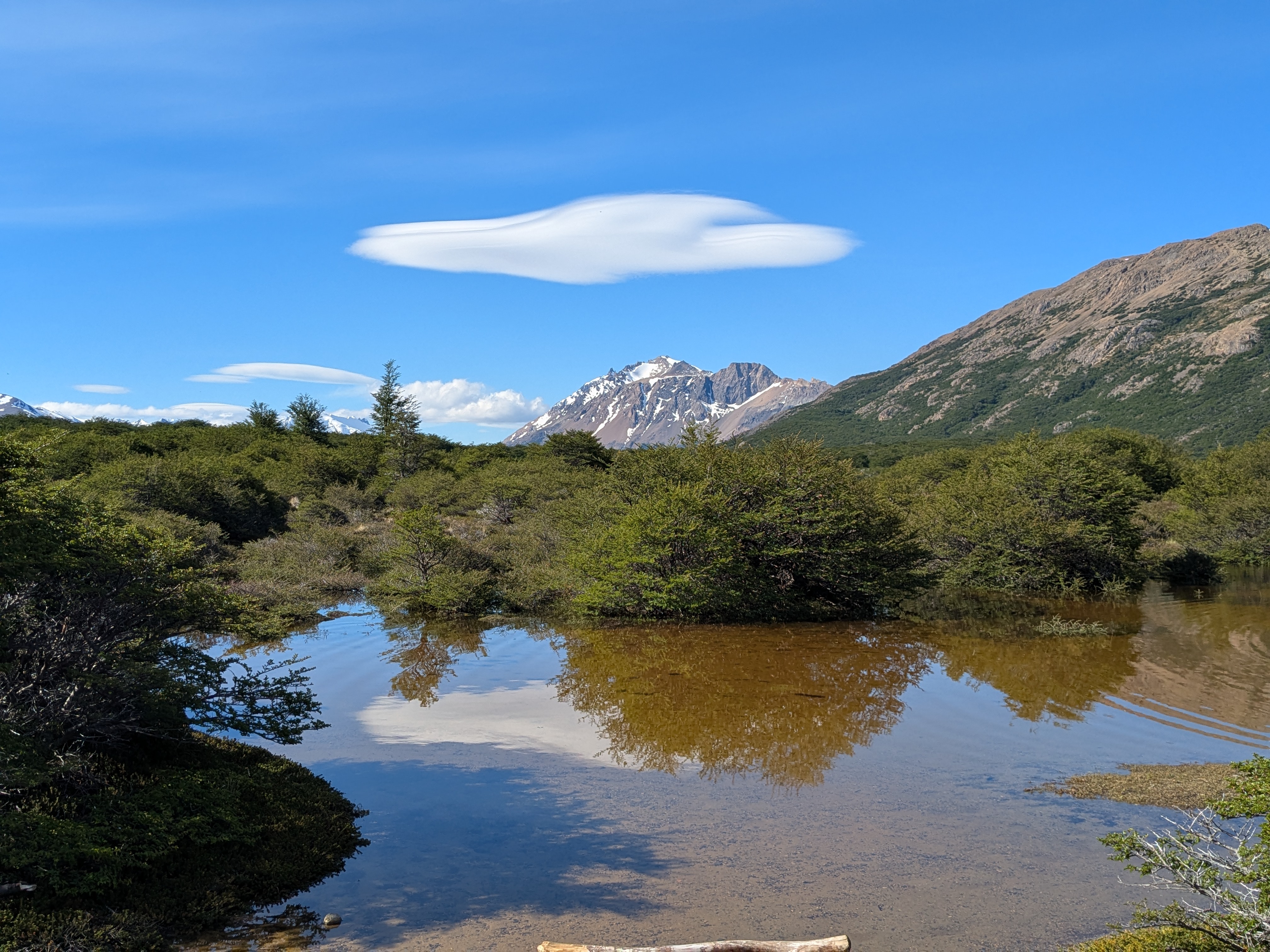
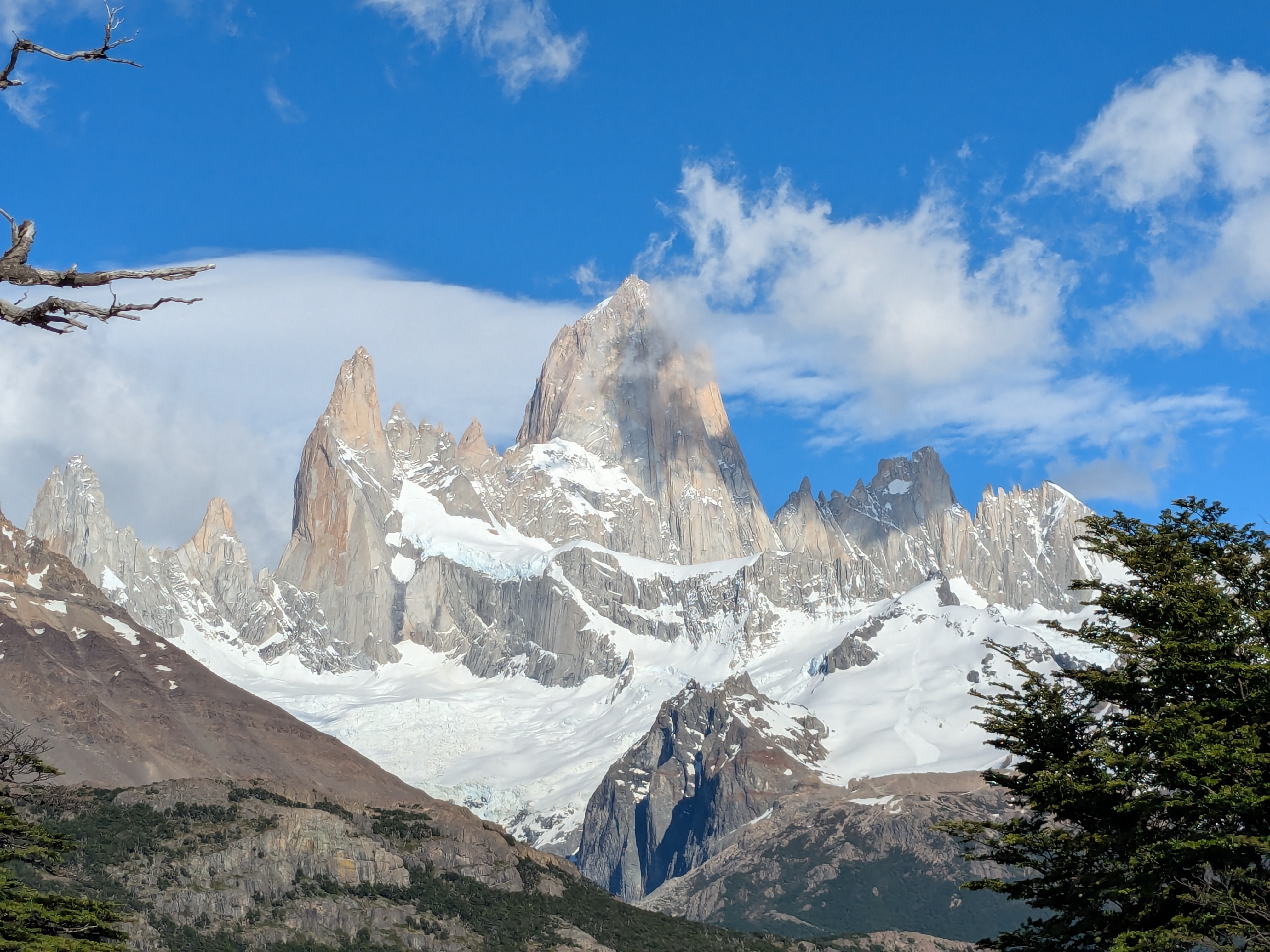
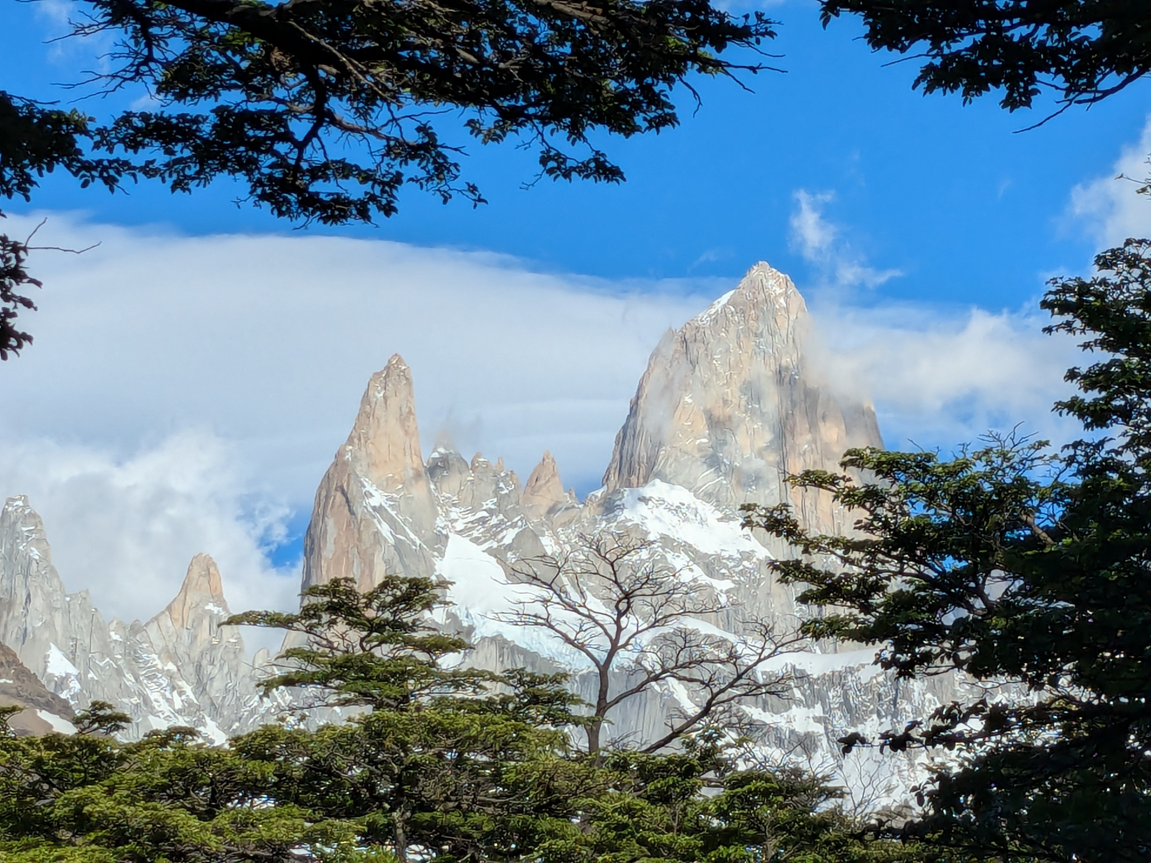
Along the trail, there are signs for each kilometer. In the first few kilometers, we took the time to enjoy nature, admire Mount Fitz Roy from afar, take pictures, let other hikers pass by, while carefully avoiding patches of muddy terrains to keep our shoes dry. Along the way, we ran into Jackie, the solo British traveller we met at the Nibepo Aike Estancia, the second time in two days. After a few hours, we got to the 9km mark feeling pretty good. There is a warning that the next 1km requires top fitness level. The last 1km uphill has taken us over 2 hours over very tough terrains, and hiking down was equally not not tougher.  Laguna de Los Tres certainly lives up to its reputation. 

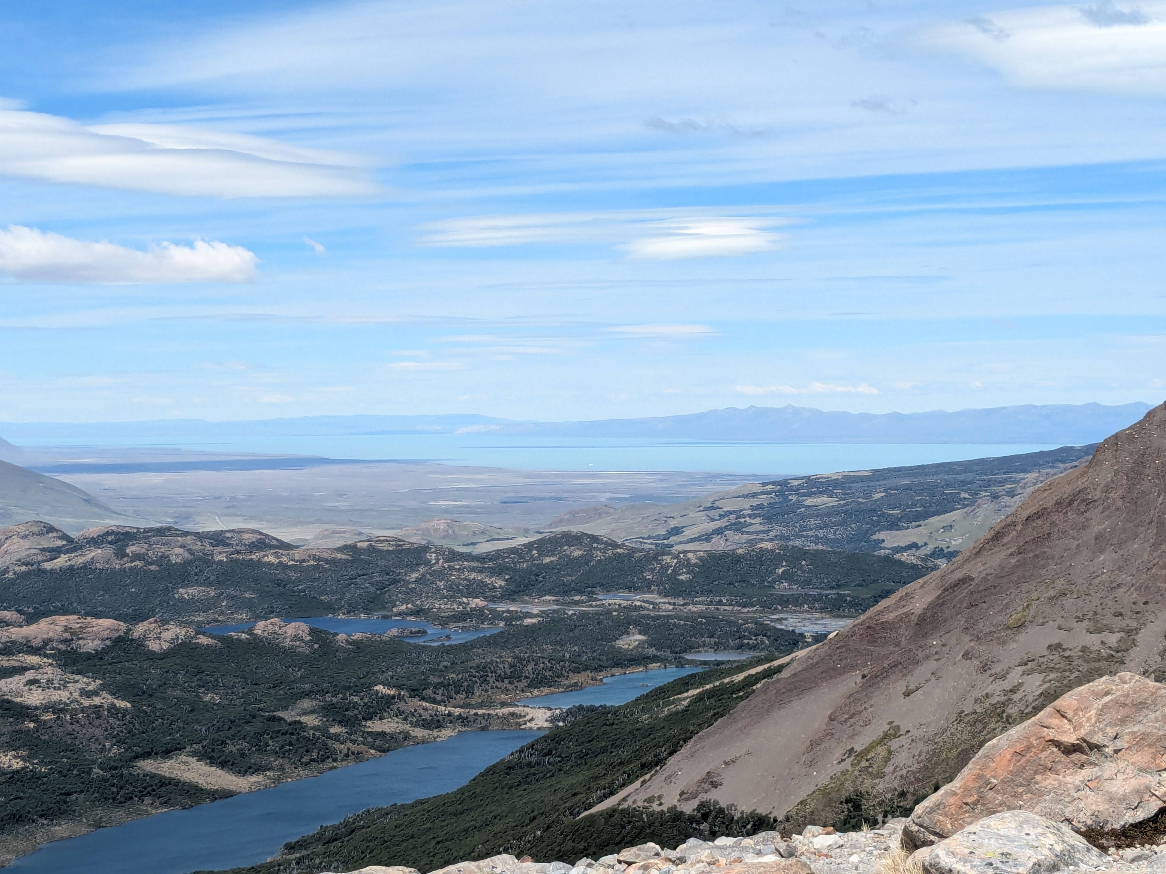
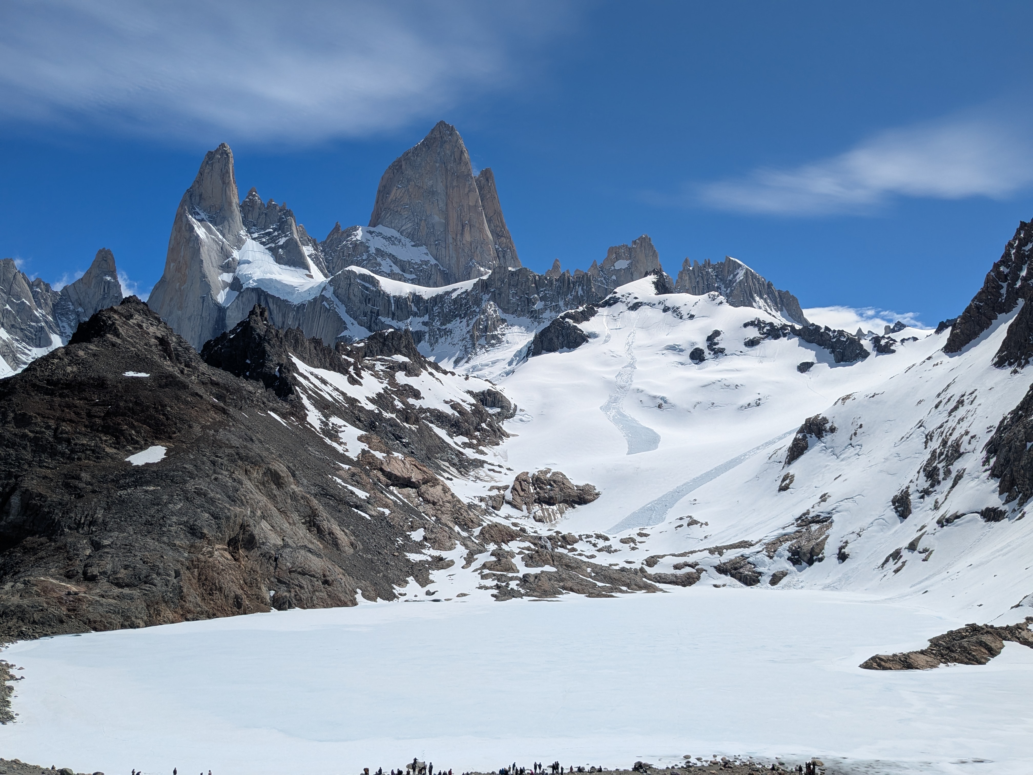
It was still Spring time, the main Laguna de los Tres, directly below Mount Fitz Roy, was not yet defrosted. The frozen lake was connected seamlessly with the snow on the mountain. It was super beautiful and the air was refreshing. The frozen lake has not shown its turquoise charm we often find in pictures.  We were rewarded with the snow-capped Fitz Roy peaks in a comfortable chilly weather, with a lone fox wandering among us, hikers. We took the views all in at the summit. Fitz Roy towers above us, on the other side, we saw the beautiful larger blue Laguna (Laguna Sucia/Laguna Capri/Lago Argentina).  

We could have stayed here for much longer, but it was time to head back. With our slow pace, it was getting dark. The hike started at 7am and we returned by 9pm. This is arguably the longest hike we had done since the Half Dome at Yosemite decades ago. This one feels tougher. At the end, we could feel that we lost some belly fat and some weight. It was such an experience that it felt like if this Laguna De Los Tres became our very last tough hike, it would be all right.  Do we still have more in our tank for future hikes of similar challenges?  Only time will tell. 

The next day, we chilled at a nearby meme cake cafe, enjoyed an excellent chocolate mint tea, served in an iron pot. Thigh and hip muscle fatigue aside, our joints felt good. Thanks to Taichi practice in the last few months.  After a day of rest, we felt ready for some easy short hike.

The day after, we started the day with a Cappuccino and Mocha at the Macchiato cafe right across the street. Talked to the barista about their sold out beautifully designed t-shirt that reminds us of the T-shirt displayed in a similar coffee shop in one of our Hawaii trips.

Some hikes stay with you forever — Laguna de los Tres is one of ours.

Next: San Carlos De Bariloche, Nov 26 to 30.

Leave a comment »

Hike of a lifetime: The WAVE

It has been a busy few months.

In September, we did the Wave hike that only a rare few have ever experienced. In October, we did our first ever 3-day tennis camp at the beautiful Pebble Beach, California. In November, we had our 3-week “longest” visit to NYC.

The Wave is a once-in-a-lifetime hike (https://thewave.info/) in Arizona. 

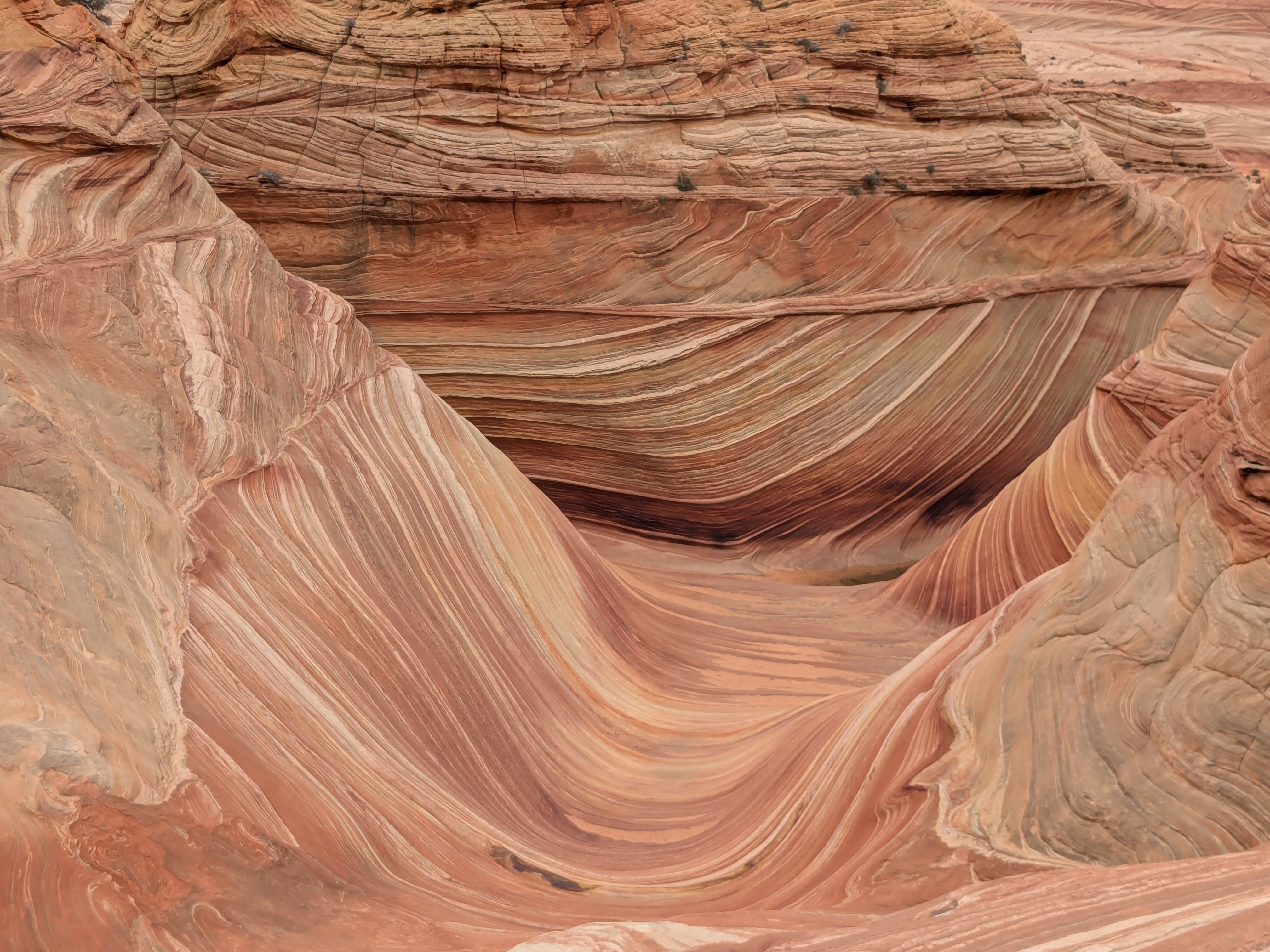
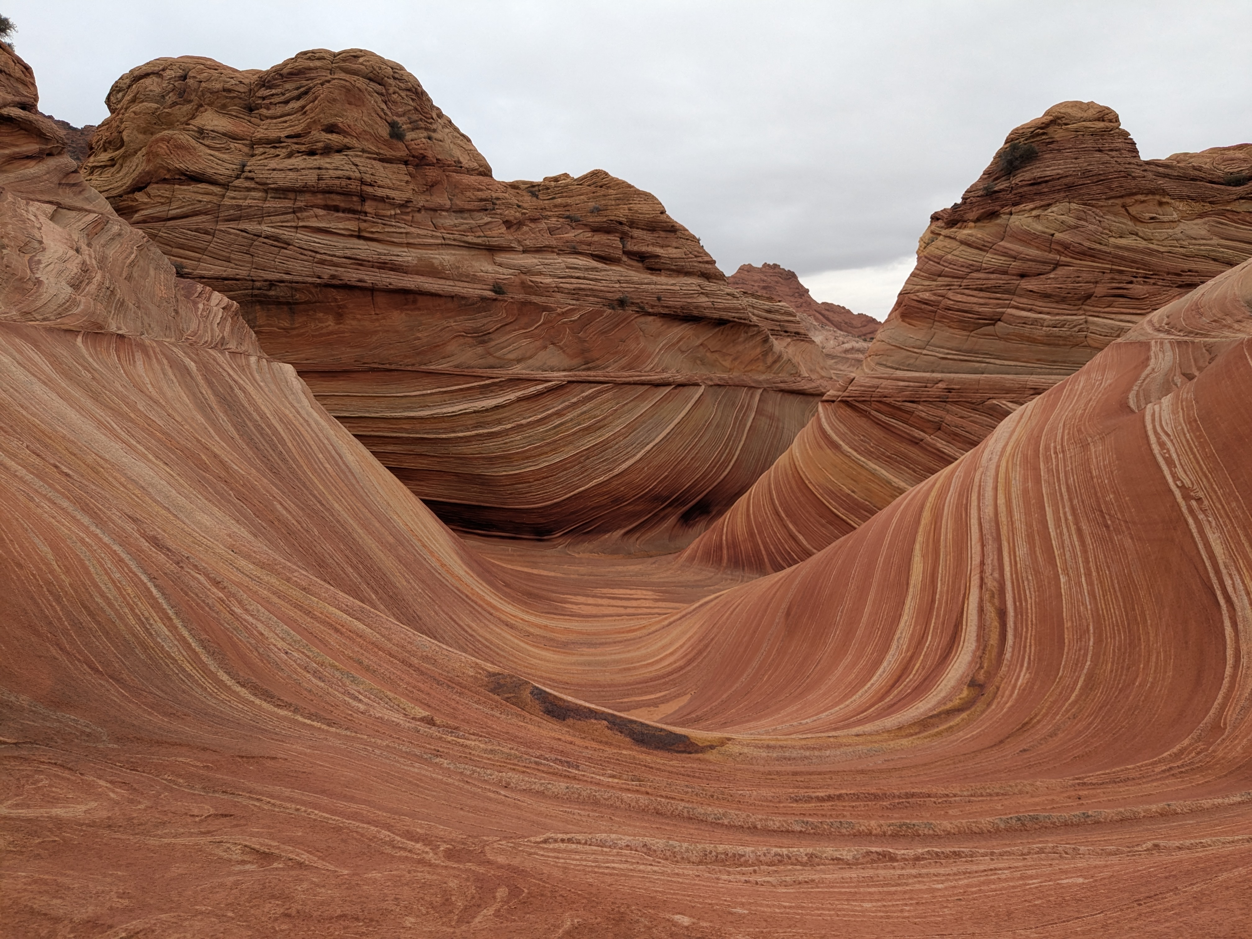
The Wave makes a dream destination for hikers. It is otherworldly, unique and unforgettable that I can stay there for days, and still be in awe of its natural beauty. Its photo tells a thousand words, but it pales compared to in-person experience.

The Wave in Arizona became widely known after Microsoft featured it as the default desktop wallpaper for Windows 7 on July 22, 2009. Fast forward fifteen years, many recognize the pictures but very few know about the place even fewer have visited the Wave. Why?  It may have to do with its being managed by the Bureau of Land Management (BLM) rather than the more well known National Park Service (NPS).  It may have to do with its accessibility.

The Bureau of Land Management (BLM) manages the Wave. BLM manages one in every 10 acres of land in the United States, including vast stretches of desert, grasslands, sagebrush steppe, coastal areas, and some forested lands . The National Park Service (NPS) manages US National Parks. The Wave is not part of any national parks. BLM and NPS both oversee public lands in the U.S., but their purposes and management differ. BLM manages vast areas of land (mostly in the western U.S.) for multiple uses, and emphasizes a balance between resource use and protection. BLM often leaves the wilderness alone where you can explore. There is no lodge, often no marked trails, lucky to have a parking lot or restroom. You are more on your own. 

NPS, which operates many world-renowned U.S. National Parks, offers recreational enjoyment while prioritizing conservation and strict protection. National Parks are more developed with visitor centers, with more infrastructure, more facilities, more accessibility and designated hiking trails. NPS makes the park enjoyable for generations while preserving them.

BLM operates Coyote Buttes, which includes The Wave, and limits visitation through a permit system. The Wave, being operated by the BLM, stays intact over millions of years. With only a daily maximum of 64 people getting the permit to explore the area, the human footprints are kept to the minimum. The least human footprints help the highest order of preservation. The Wave permit is hard to impossible to get. The permit can be obtained through an advanced lottery system, or a daily try-the-luck walk in. The advanced lottery system is simple. It opens four months before your trip date. You have the whole month to apply with a maximum of three preferred dates. The lottery is now open for April 2025 Permit. 

My first recorded lottery was dated March 2020. I did not try every month, as summer could be dangerously hot and winter could be harshly cold in Coyote Buttes. I only drew for the months with more forgiving weather. I did at least six attempts in the past four years. On June 3, 2024, I received this email: “Coyote Buttes North Advanced Lottery (The Wave) Lottery Results Announcement – Congratulations!”. It was an amazing feeling of a long forgotten dream coming true when I least expected it. Many tried for years, even decades, and are still trying. It is the closest we ever get to the Wilderness, seeing the same sceneries as the dinosaurs. There is no way that I will pass up on this.  We accepted the lottery results. 

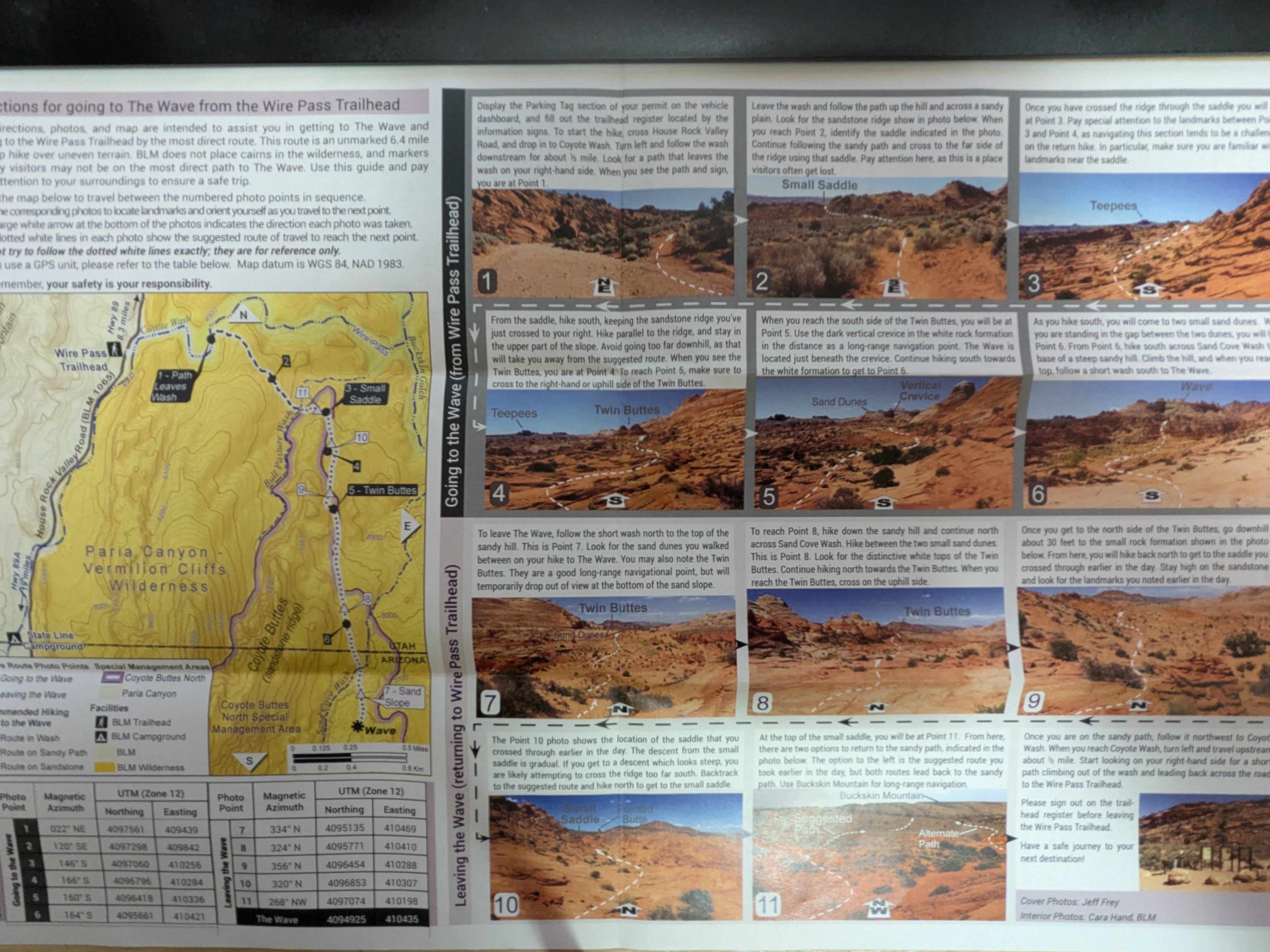
A few weeks after accepting the winning lottery, BLM mailed us the permit and some directions for going to the Wave from some trailhead. It was like eleven pictures with detailed descriptions we can use to get from the trailhead to the Wave. It even states that markers placed by visitors may not be on the most direct path to the Wave. If we miss a picture and a turn, who knows when we will discover the miss and then backtrack. In short, we are on our own. We are too old to feel that getting lost, without a functional cell phone to contact outside, is an adventure. The Wave, as beautiful as it is, can be challenging and life threatening. It needs wayfinding skills and decent physical fitness to navigate through the vast wilderness. We are not confident wayfinder in the wilderness. We need to carry at least a gallon of water in a terrain of mostly sandstones. Even with the information provided by BLM, we decided to find a tour guide. The tour agency is very clear that we need to be prepared to walk 7+ miles in the rocky desert terrain, exposed to the elements. (In hindsight, we probably can figure out the navigation with some misses and backtracking, but then we will be focused on the navigation than the landscape)

My group of 4 had three months to get fit. We started our once a week training hike to get fit. From early August to a week before the Wave, we did 6 training hikes at Coyote, Upper High Meadow, and Stephen E Arbors Loop at the popular Rancho San Antonio of South Bay. The 4 hour training hike covers 8.4 miles with 1686 ft elevation.  That is not quite the 7+ hours Wave hike. To build more confidence, I also did some stairmasters during the week. We felt ready.  

The Wave has an elevation of over 5000 ft.  We arrived at page, Arizona a day prior to the Wave hike. It helps acclimatize to the elevation. There is just so much to do at Page, Arizona and its proximity. We did a short beautiful hike at the Beehive Trail, sometimes called the New Wave. We felt ready.  

September 21 was the big day. The tour guide Tyler picked us up at 5:15am. We were half awake. It was cold. Tyler is a local. He knows the area really well. He is cautious and prepares his body well with frequent sips of water during the one hour drive there. After all, he must look after us in unexpected circumstances. The first half of the drive is on a smooth freeway. The outside was dark and peaceful. Along the way, there is zero signage to tell Wave’s existence. I think it is intentional to hide it from the public. Without the experience of Tyler, It would be so easy to miss the turn to the unpaved side road to the Wave trailhead. The road becomes unpaved and gets tougher after the turn. We did not see another car until we got to the parking lot. It was too dark to see animals. We did not find any visitor center. Instead, there was a logbook, we registered our group in a log book. That log book is likely the communication protocol for the park range to figure out if everyone leaves the Wave, or gets trapped in the Wave. The pink permit was attached to my backpack all the time.

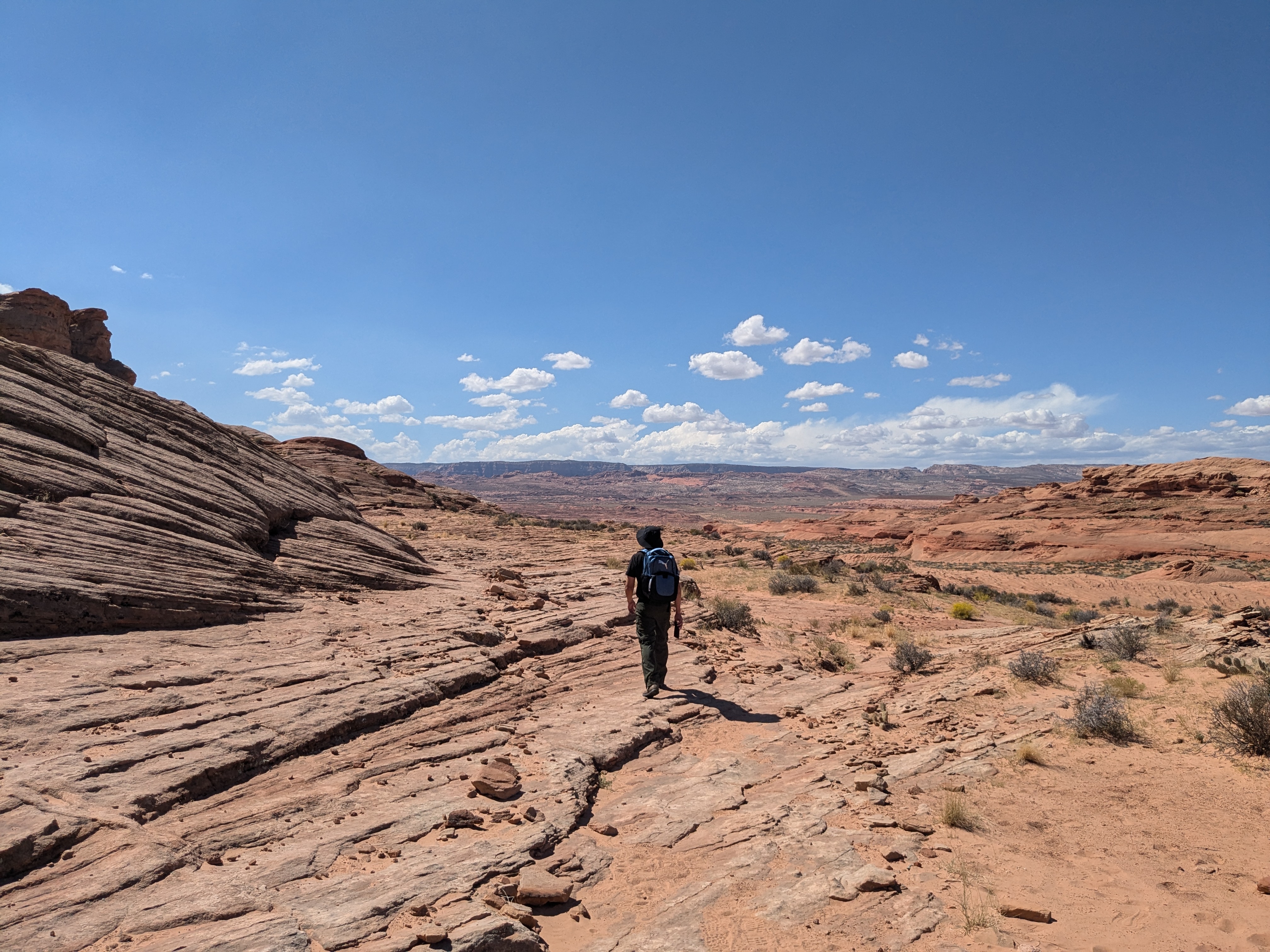
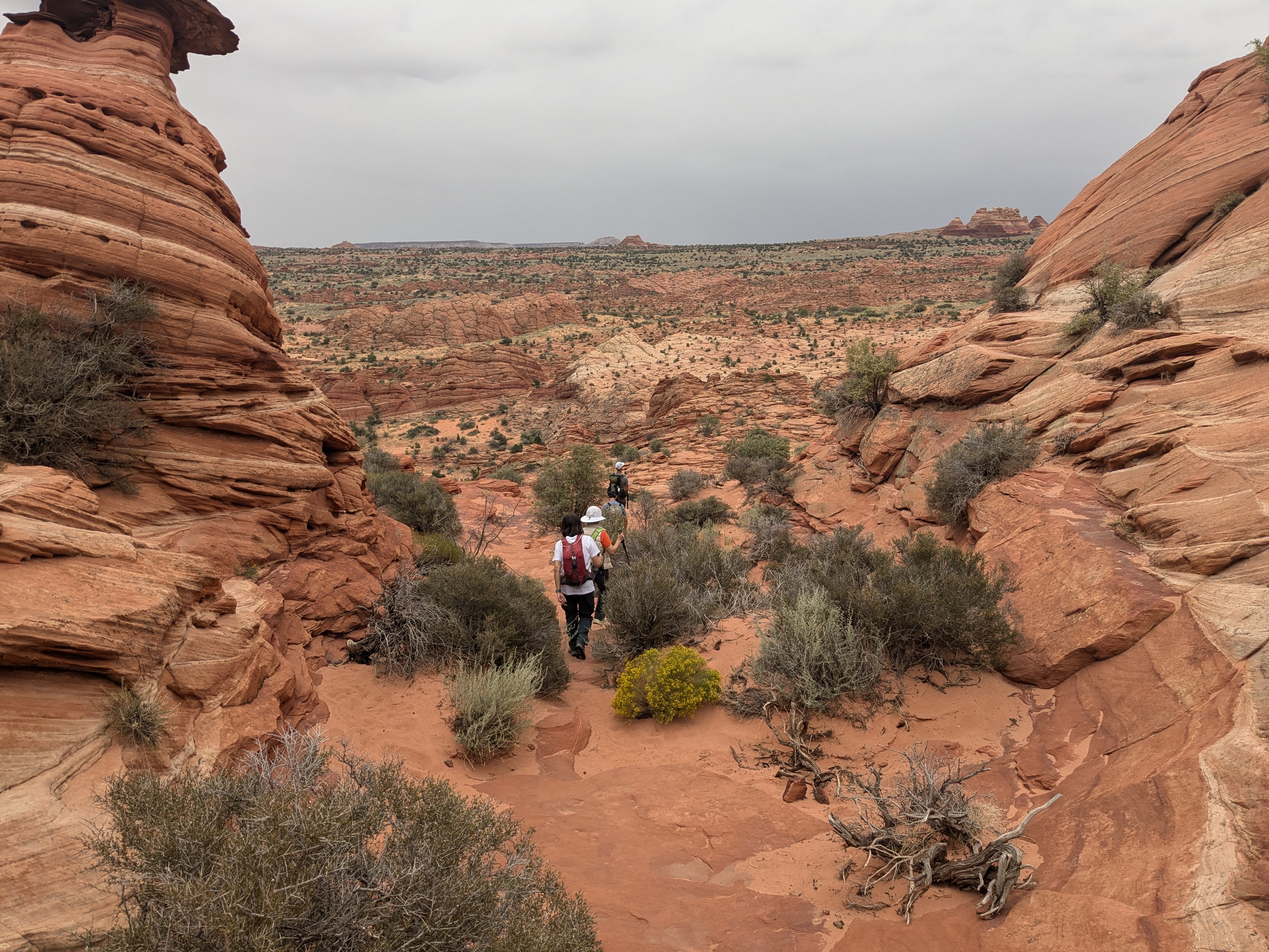
It was overcast, it was cool. There were tiny showers from time to time. It made the perfect weather for a hike. We did not need to consume much energy to overcome the sun. For the first few hours, we had the wilderness for ourselves. We did not run into another group. It was quiet and peaceful. The tour guide helped us with the better routes and avoided slippery terrains.

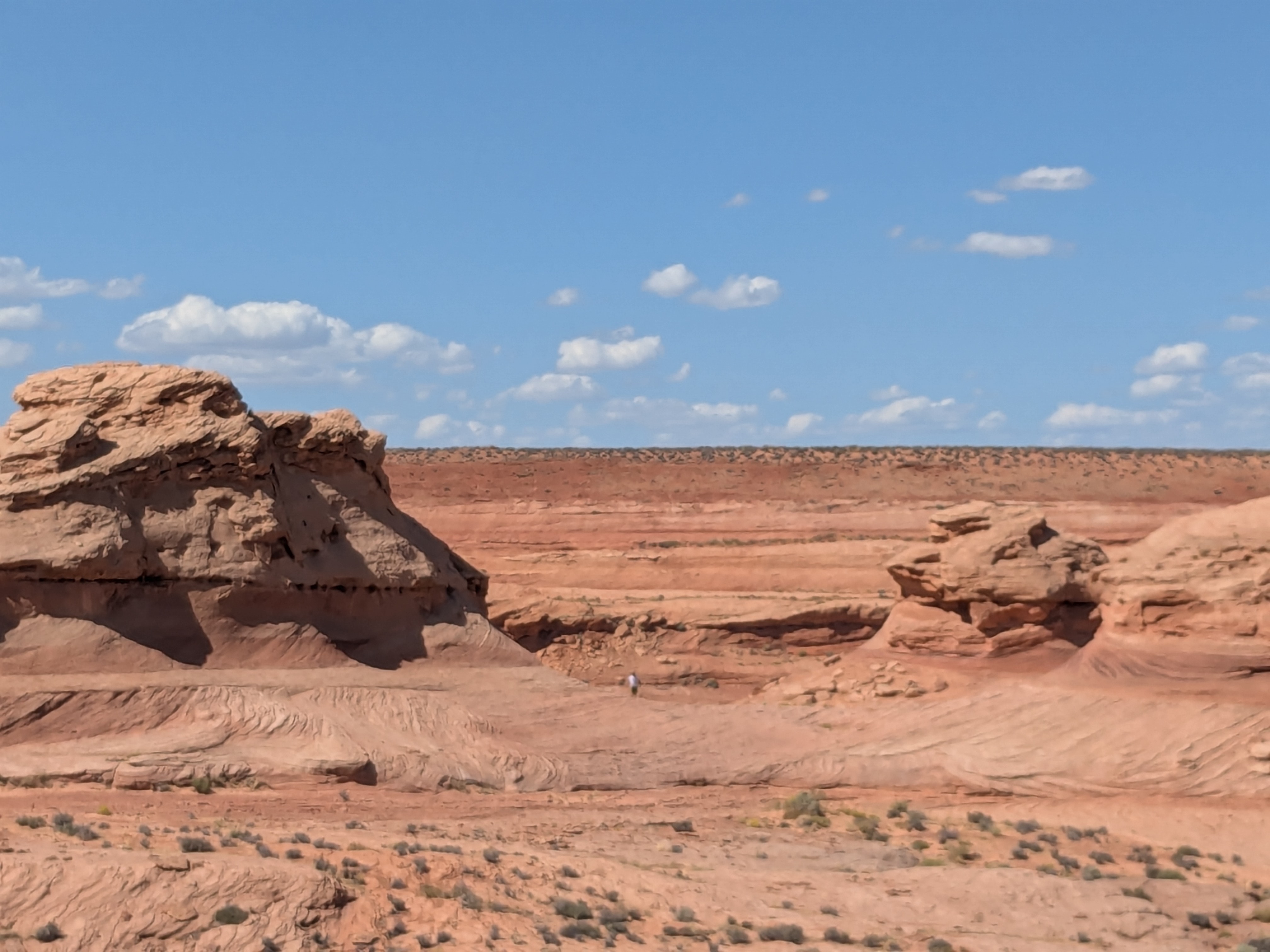
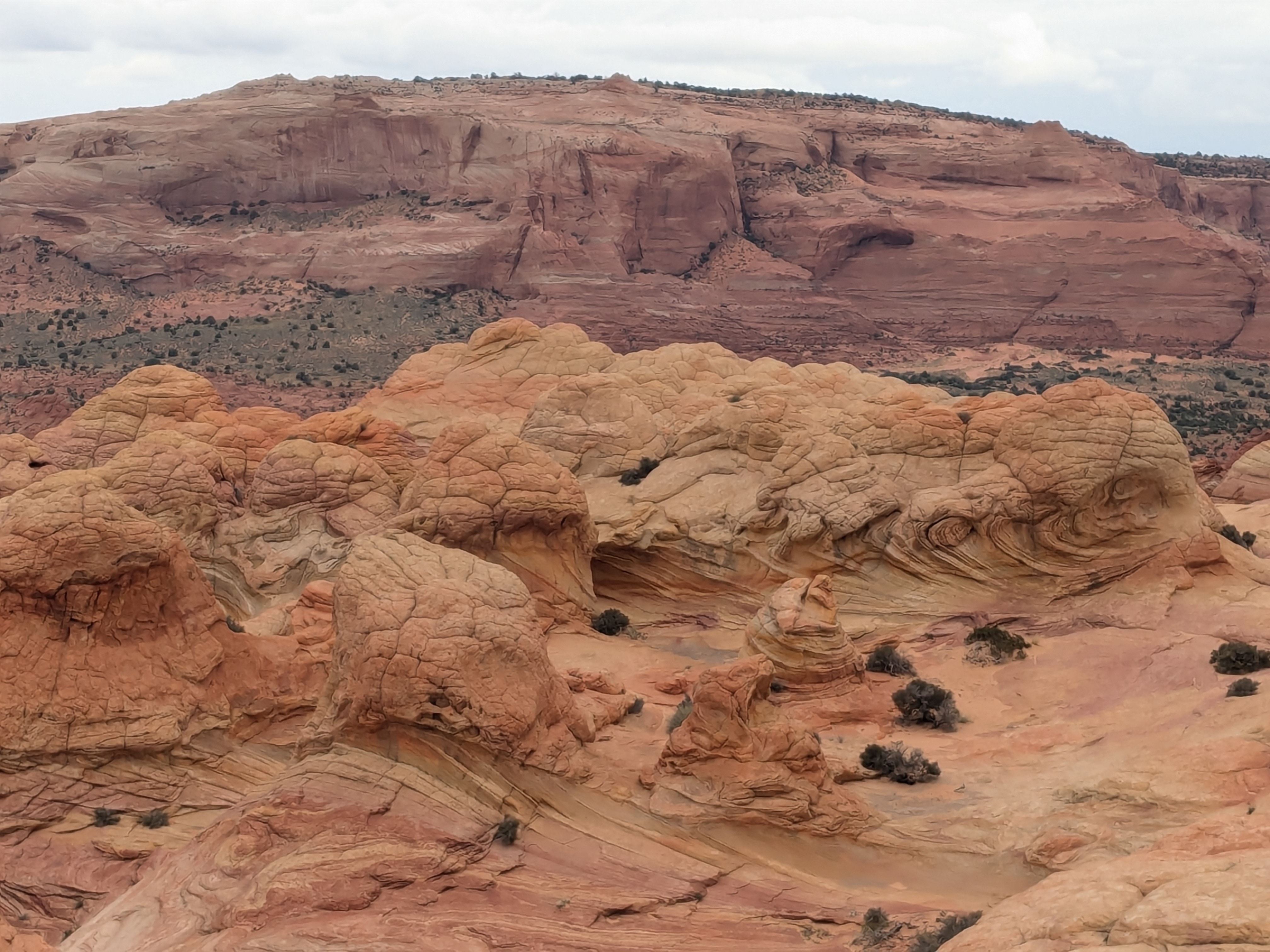
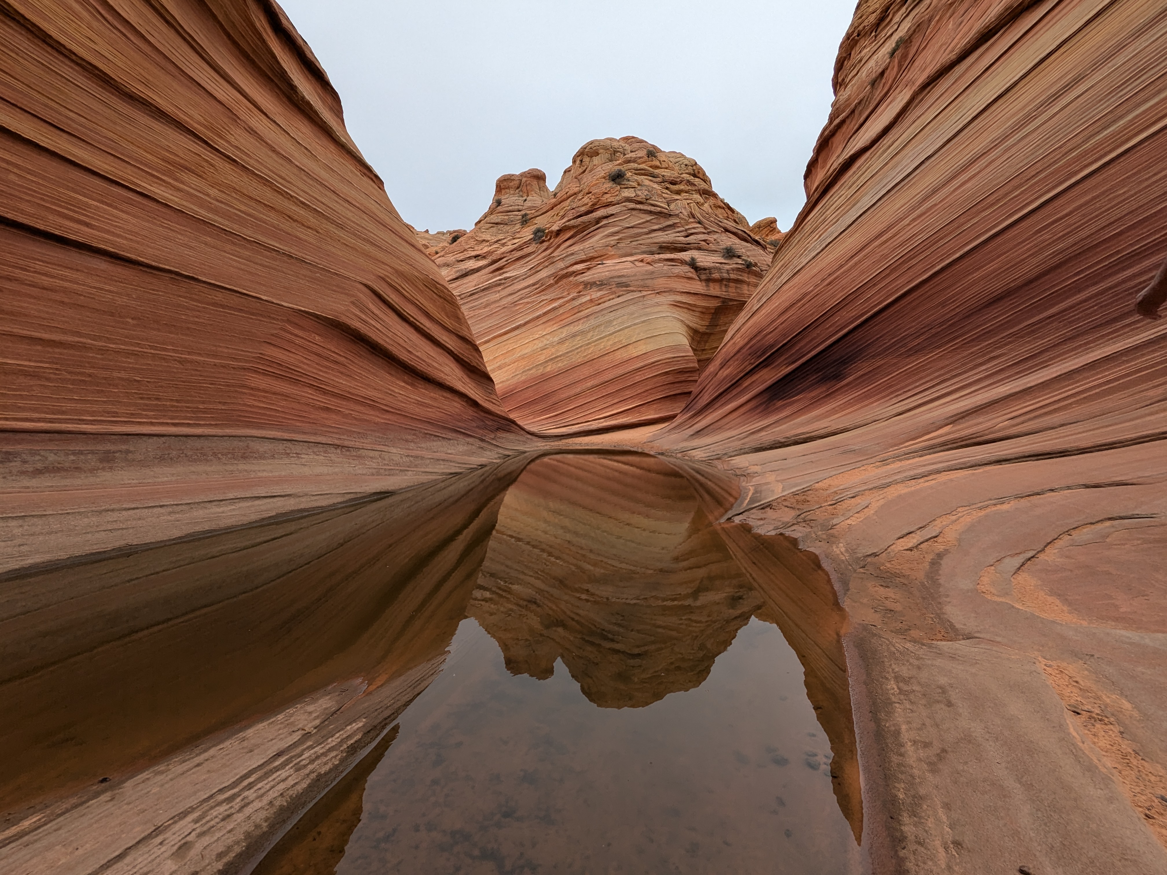
Along the path, there was this big rock that was shaped like a hamburger. Some rocks that looked like cauliflowers, and some just looked like human brains. Because of the shower, we found a few tiny water bodies, with some tadpole shrimps. These tadpole shrimp species have existed for hundreds of millions of years and are likely to exist after we are long gone.

The blue sky was missing that morning. The cooler weather was a blessing. We were also rewarded with different colorings of the terrain. The red rocks, the subtle green and blue color of the terrain came out indescribably beautiful under the cloudy sky. 

The Wave is under the “black line”


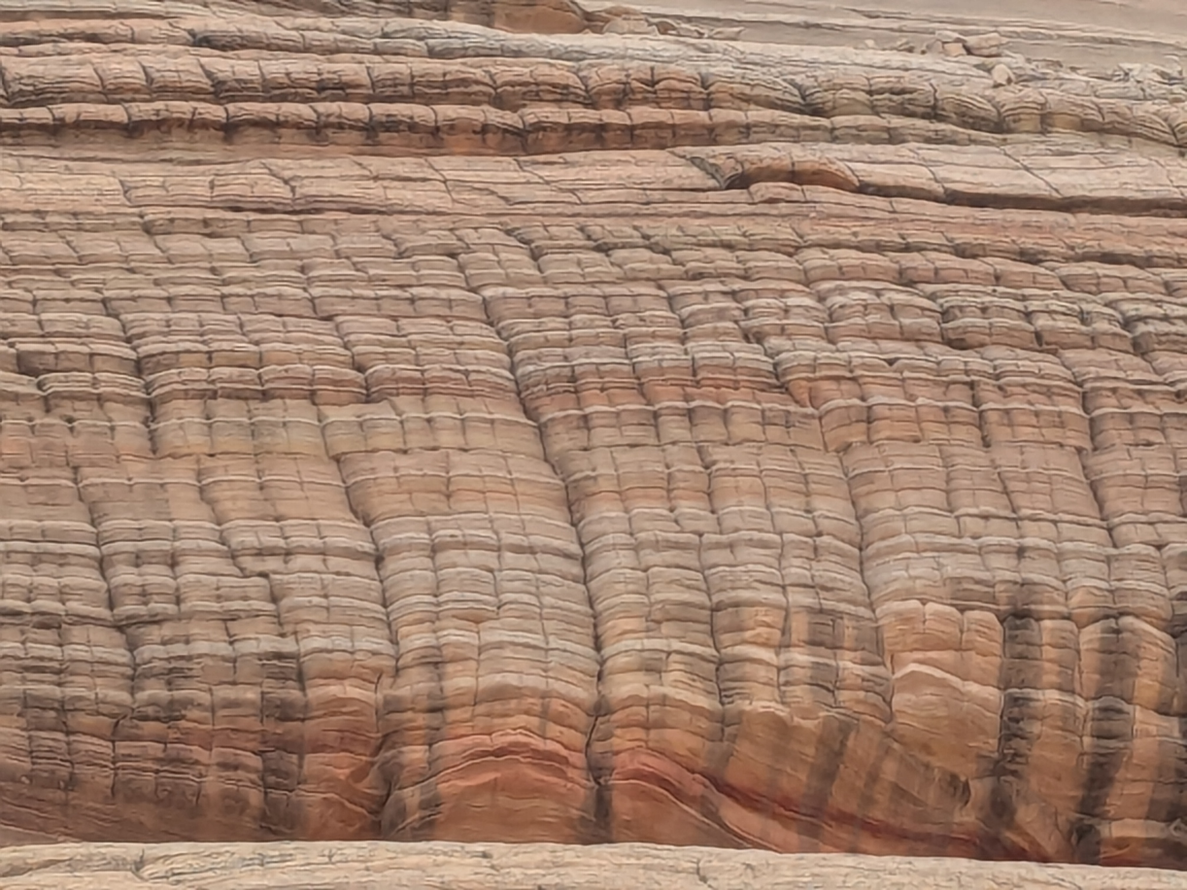
We  arrived at the Wave entrance in about three hours. It felt surreal to finally be in the Wave after all these years of lottery, all these weeks of preparation. The photo may disguise the Wave as soft, curly and smooth. In reality, it is formed of incredibly hard sandstones. We enjoyed just staying there to appreciate and had a lunch break. After  lunch, Tyler, our tour guide, took us to different “vista” points and an area with the dinosaur footprints. 

The sun started to show after lunch. As much as we wanted to enjoy it for more  hours, it was time to hike back. We saw a few small groups without a tour guide. They were all busy navigating and we wondered how many backtracking they would experience.  

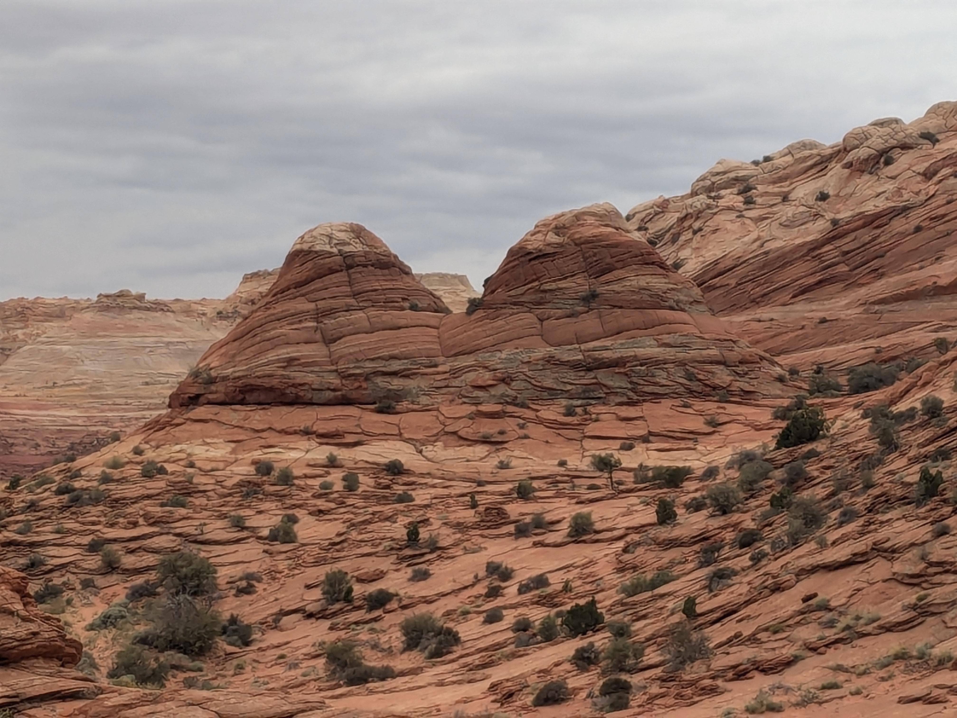
As confident as we felt about the direction and the distinct landmarks on our return trip, we soon realized that we could easily mix up the Teepees and Twin Buttes landmarks with many other look-alikes in the wilderness. The size of the landmark changes too with the distance we are from it.  The landscape changes too. The look and feel of the landscape changes too with the weather. 

We hiked for almost seven hours for the round trip hike to the Wave. We signed out on the trail-head register before leaving, so concluded the Wave Hike.  

The Wave hike is up there as the top three hikes of my life, if not the top. I am going to cherish the beauty and the once-in-a-lifetime hike for the remaining years.  I am missing it already.  

Leave a comment »